South Trace

Ozark Trail - Trace Section - Southern Half

Officially, there is only one section of Ozark Trail called Trace Creek. GORC divides this into North and South sections, mainly for maintenance purposes. The demarcation point is the junction of Trace Creek with the Telleck Branch Connector from Council Bluff Lake. Everything south of this point is South Trace.

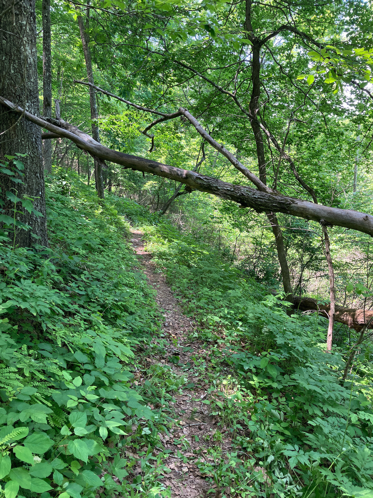
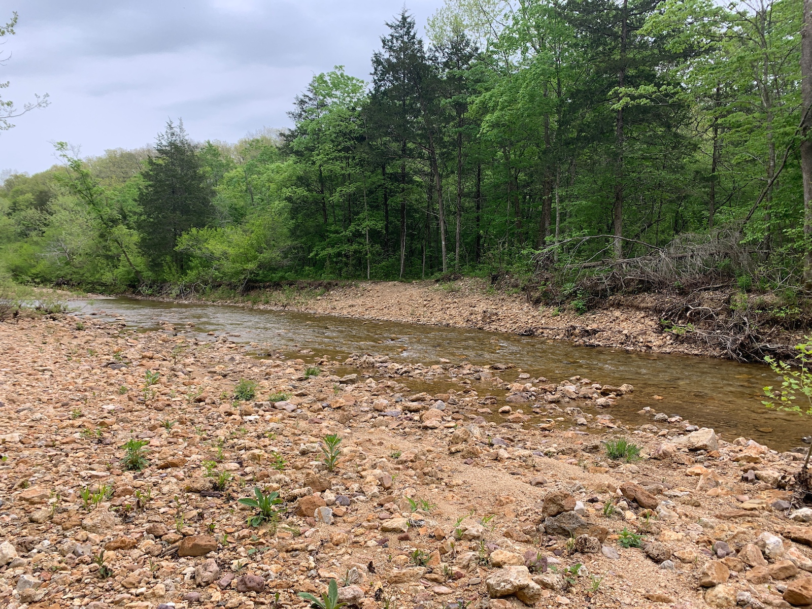
This section begins by winding its way along several creeks, with a few sections of moderate climbing as you head towards the high point at the Hwy. 32 crossing. After the junction with the Middle Fork section, there is some pretty steep terrain with climbing turns, switchbacks and steep grades. Between Hwy 32 and the Hwy A trailhead the trail is a mix of great bench-cut singletrack, a few steep climbs and descents, and some short fire and logging roads. Keep your eyes open for the green and white OT markers as there are a few places where the trail is easy to miss as it turns off the doubletrack sections.

This section of trail doesn't see as much maintenance or traffic as Middle Fork and North Trace. It is also one of the older sections of the Ozark Trail system, built mainly in the late 1960's. The tread is mostly hardpacked sandy soil, with some rocks. It is very durable and can be ridden just about anytime after a rain. Elevation ranges from around 1360' at the Hwy. 32 crossing to about 960' at the Hwy. A trailhead.

Directions

There is really only one official trailhead, the southern one on Hwy. A at Bell Mountain. If you want to ride it from the north, you'll have to park either at the unofficial parking area on DD just south of Council Bluff Recreation area, at the DD/32 trailhead on the Middle Fork, or at Council Bluff. This will make the ride approximately 11, 8, or 10 miles one-way, respectively. See the North Trace description for other parking alternatives on that section if you want to ride the entire trail.

Additional Information

The Ozark Trail Association has maps of the entire trail on its website.

Trail Information

Trail Steward(s)

The Ozark Trail Association administers the OT Adopt-A-Trail Program. (Off Site)

Rating

Intermediate

Length

8 miles

Type

Out-N-Back

Weather

Trail Conditions

Latest Conditions

From honcho on Sun, 04/22/2018 - 11:54am - South Trace (Ozark Region)
2TG cleared the trail for the race over the weekend. Primo shape right now
From TTM on Sat, 05/21/2016 - 7:45am - South Trace (Ozark Region)
Best condition in years. A few wet crossings, grasses are growing quickly. Trail looks great right now. 1 tree down 1 ridge north of Hwy 32.
From TTM on Fri, 05/06/2016 - 10:00am - South Trace (Ozark Region)
All deadfall removed from South Trace at Middle Fork intersection to Hwy A. Creek Crossings are holding water and hidden surprises...softball sized rocks etc. Use Caution. Tick Replent - Use It! Clean up stray Briars please.
From TTM on Sat, 04/16/2016 - 11:30am - South Trace (Ozark Region)
The Squeeler crew sawed everything clear from Hwy A to DD/32 Trailhead. A couple creek crossings that are NOT rideable. Be cautious. Watch your speed on the decent to Ottery Creek, the exposure has serious penalty. Prepare for wet feet(wool socks).
From skibum77 on Sat, 01/30/2016 - 9:30pm - South Trace (Ozark Region)
Other than some downed trees, trail was in good shape. Man, some of those climbs are steep though!
From Tbones23 on Sat, 09/19/2015 - 3:30pm - South Trace (Ozark Region)
Rode this morning after about a tenth of an inch of rain last night. Trail is in good shape. About 6 or so downed trees from A to Council Bluff. We rode from DD to Hwy A TH. the last few miles were tough on these old legs. Overall a very fun ride.