North Trace

Ozark Trail - Trace Section - Northern Half

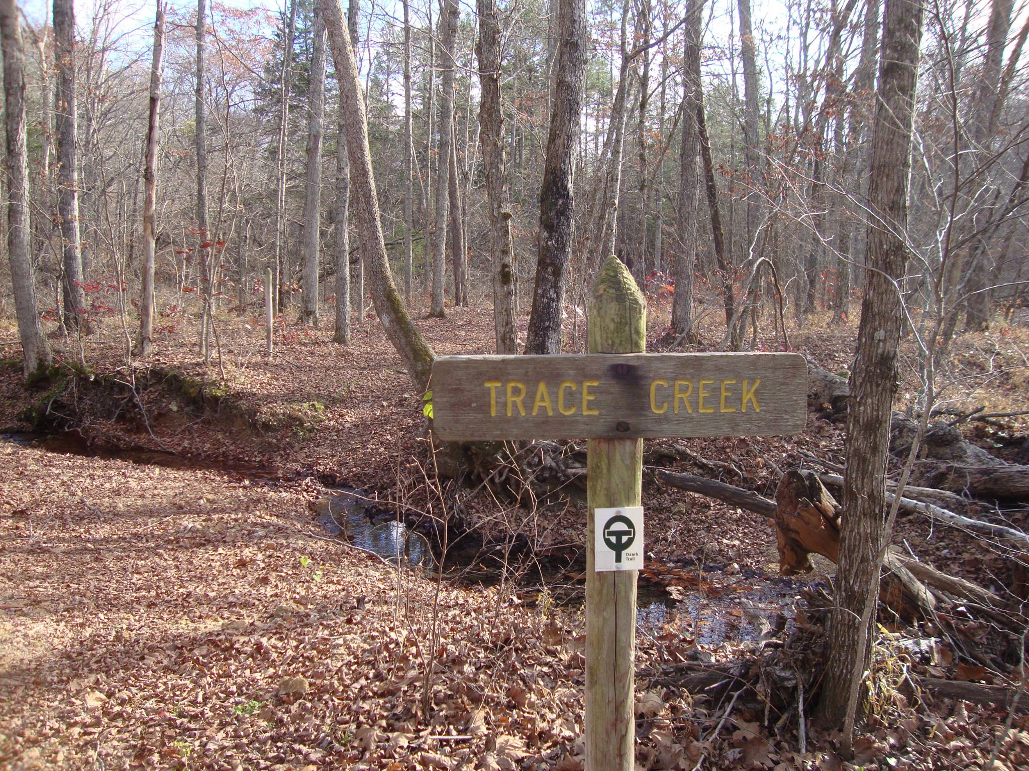
Officially, there is only one section of Ozark Trail called Trace Creek. GORC divides this into North and South sections, mainly for maintenance purposes. The demarcation point is the junction of Trace Creek and the Telleck Branch Connector from Council Bluff Lake. Everything north of this point to Hazel Creek Campground is considered North Trace.

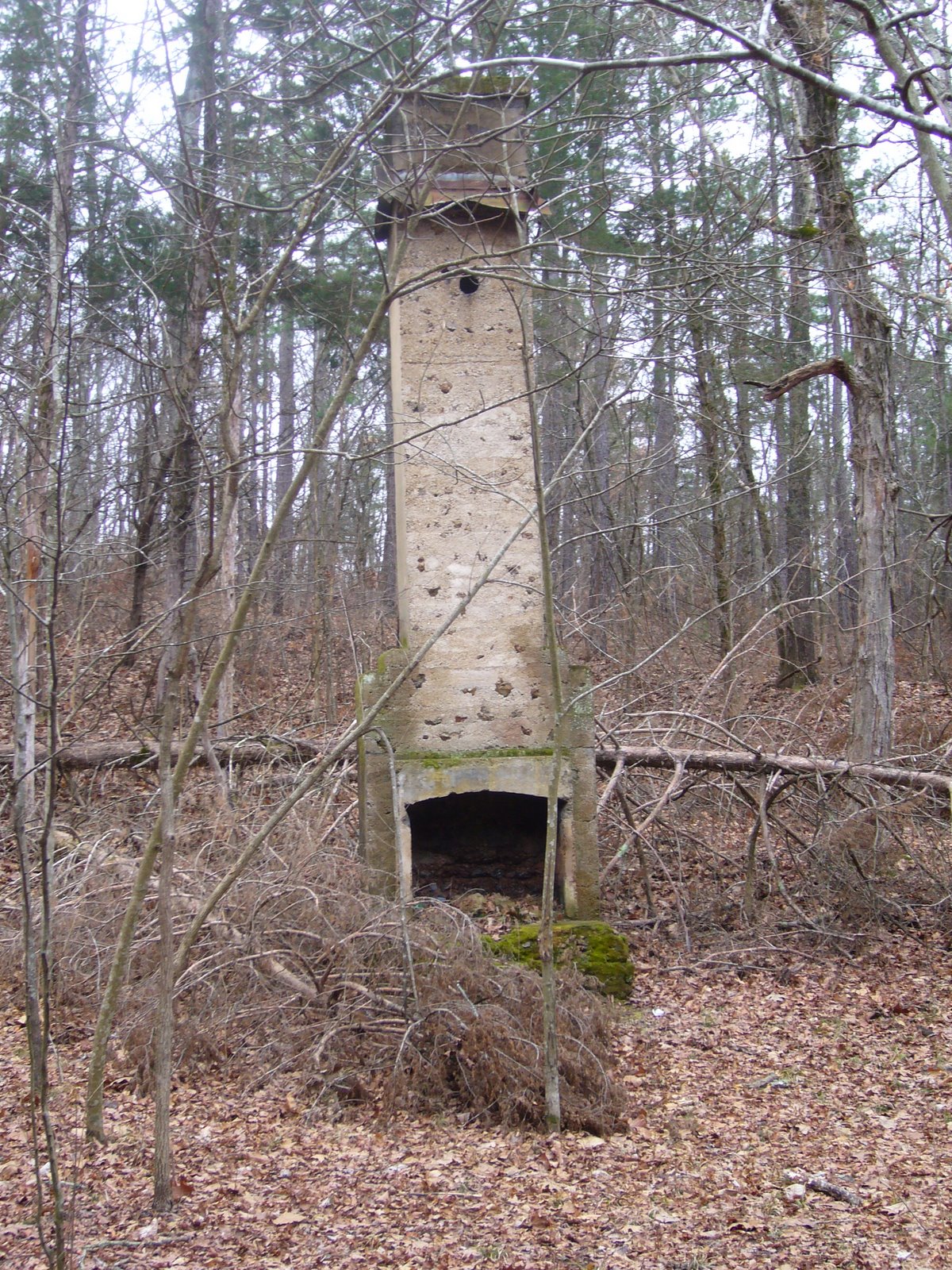
Trace Creek is one of the older sections of the Ozark Trail, built mainly in the late 60's, and is the one whose poor condition in the late 90's spurred John Roth to get active in trail maintenance, leading to the creation of the Ozark Trail Association.

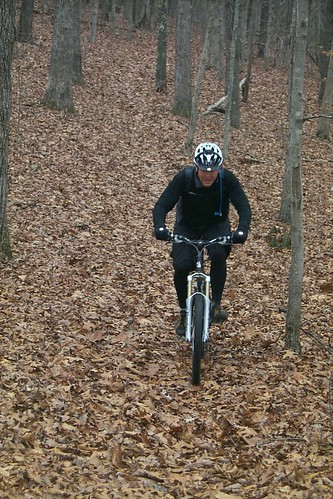
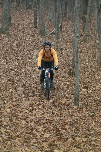
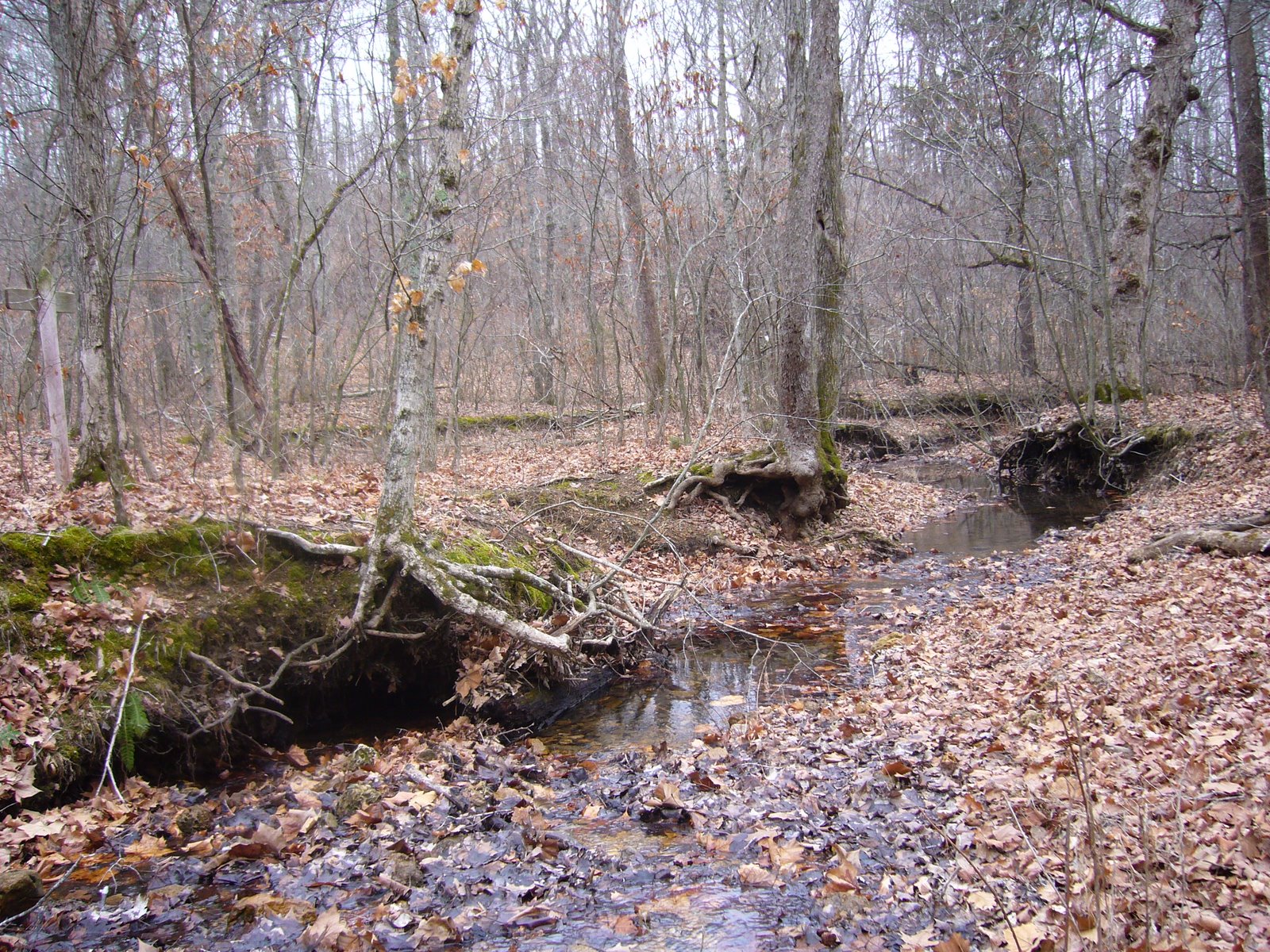
Most riders choose to ride this as an out-and-back beginning from Council Bluff Lake and heading north to Hazel Creek. There are several reasons for this: first is the ease of getting to, and parking at Council Bluff. Secondly, Hazel Creek can vary greatly in depth, from ankle to waist deep, and it's usually not possible to cross without getting something wet. Additionally, the trail north of Hazel Creek is only a little more than a mile, and criss-crossed by paths made by the many ATV users in this area.

This is one of the few all-weather trails in the area. It is mostly sandy hardpack with some rocks, except for a few areas prone to mud at the northern end near the Hazel Creek crossing, at the various creeks the trail crosses, and near the junction with the Telleck Branch Cut-off to Council Bluff. The trail has quite a bit of climbing and descending, but nothing that is sustained or truly steep. Elevation ranges from a low of 900' at the Hazel Creek crossing to around 1330' near the DD crossing just west of Council Bluff. It generally follows contour more in the north, and several lengthy sections run along creek bottoms as you progress southward past the Hwy C crossing before climbing back up to DD.

Directions

There are 3 locations where this trail can be accessed:

From the north at Hazel Creek Campground- (directions from the OTA website) From the intersection of Highways 8 & Y (about 14-15 miles east of Steelville): go south on Y for 7-8 miles then make a left on CR 657. Go about five miles down this gravel road and make a right into Hazel Creek Campground. There is a parking area a few hundred yards on the right. You have to walk a 100' back up the road to find the trail.

An unofficial parking lot on Hwy DD near the entrance to Council Bluff Recreation area- Hwy C or 32 west to DD (turn south from C, or north from 32). Follow the signs to Council Bluff. This lot is 0.5 miles south of the entrance on the west side of DD.

From the Telleck Branch Connector off of the Council Bluff Lakeshore Trail- Park at the Council Bluff Recreation Area, and ride the lakeshore trail until you come to the bridge over the Telleck Branch. The trail branches off to the west here.

Depending on how far you want to ride, it is also possible to park at the DD/32 parking lot on the Middle Fork, or at the end of the South Trace Creek section on Hwy A. Please see the descriptions of those sections to find out more about these locations.

Additional Information

Ozark Trail Planner

Trail Information

Trail Steward(s)

The Ozark Trail Association administers the OT Adopt-A-Trail Program. (Off Site)

Rating

Intermediate / Advanced

Length

14 miles

Type

Out-N-Back

Weather

Trail Conditions

Latest Conditions

From jimRipley on Sun, 07/30/2023 - 8:14pm - North Trace (Ozark Region)
Flagging as red from Berryman towards Hazel. Lost Creek is about 3-4 ft deep and there has been a good amount of creek-bank erosion. Also, about two weeks ago tried to ride from CB toward Hazel -- MANY trees down
From Kurt Pitts on Sun, 06/04/2023 - 10:30am - North Trace (Ozark Region)
There isn't a Courtois section, going under North Trace. Between Hwy 8 and Hazel Creek Campground, trail isn't in bad shape. Overgrown, but some sections have been trimmed closer to Hwy 8. Some mud holes on the double track in the south.
From Kurt Pitts on Sun, 05/07/2023 - 11:00am - North Trace (Ozark Region)
Everything was in surprisingly great shape between DD and Hazel Creek Campground. Weeds aren't overgrown yet. A couple dead-falls that required bushwacking detours.
From PunchOr on Tue, 05/14/2019 - 9:49pm - North Trace (Ozark Region)
Ride it on Tue 5/14. Lots of hog damage. I mean LOTS. Creeks high, but trail just fine. Did not get all the way to chimney. CBL from boat ramp to NTrace fine, too. Some evidence of hogs on this section, too.
From borders on Mon, 04/22/2019 - 1:36pm - North Trace (Ozark Region)
Road from Council Bluff campground to Chimney and trail is in great shape. Few trees down but most are ridable.
From TTM on Mon, 09/03/2018 - 1:31pm - North Trace (Ozark Region)
DD/32 to the chimney is boulevard buff. Also the OT-CBL connector buff, Watch for loose tread edges. The DR mower trims the tread edge and kicks up rocks, expect some softballs. If you see grass...it probably means something is hiding