• No Recent Update
  • Clouds ( 38°F )
  • Beginner / Intermediate
  • 6.75 miles
  • Multiple Loops
  • St. Louis Area

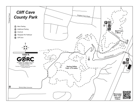
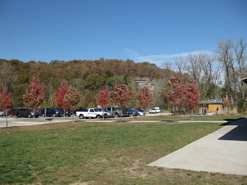
The Spring Valley Trail is on the west side of the park and the Bluff Trail on the east side. A connector trail links both trails. There are two parking lots to access the paved trail system.

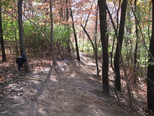
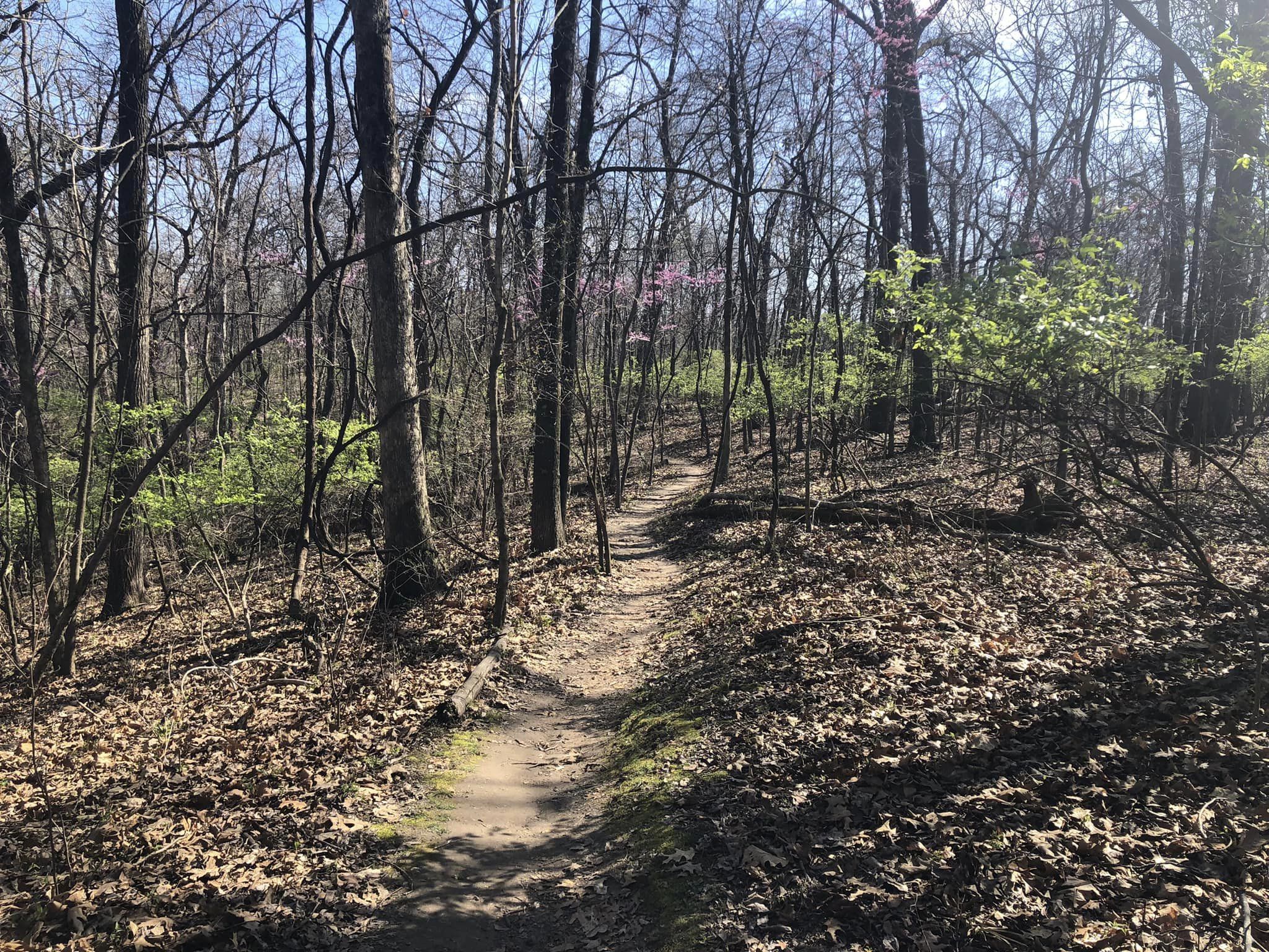
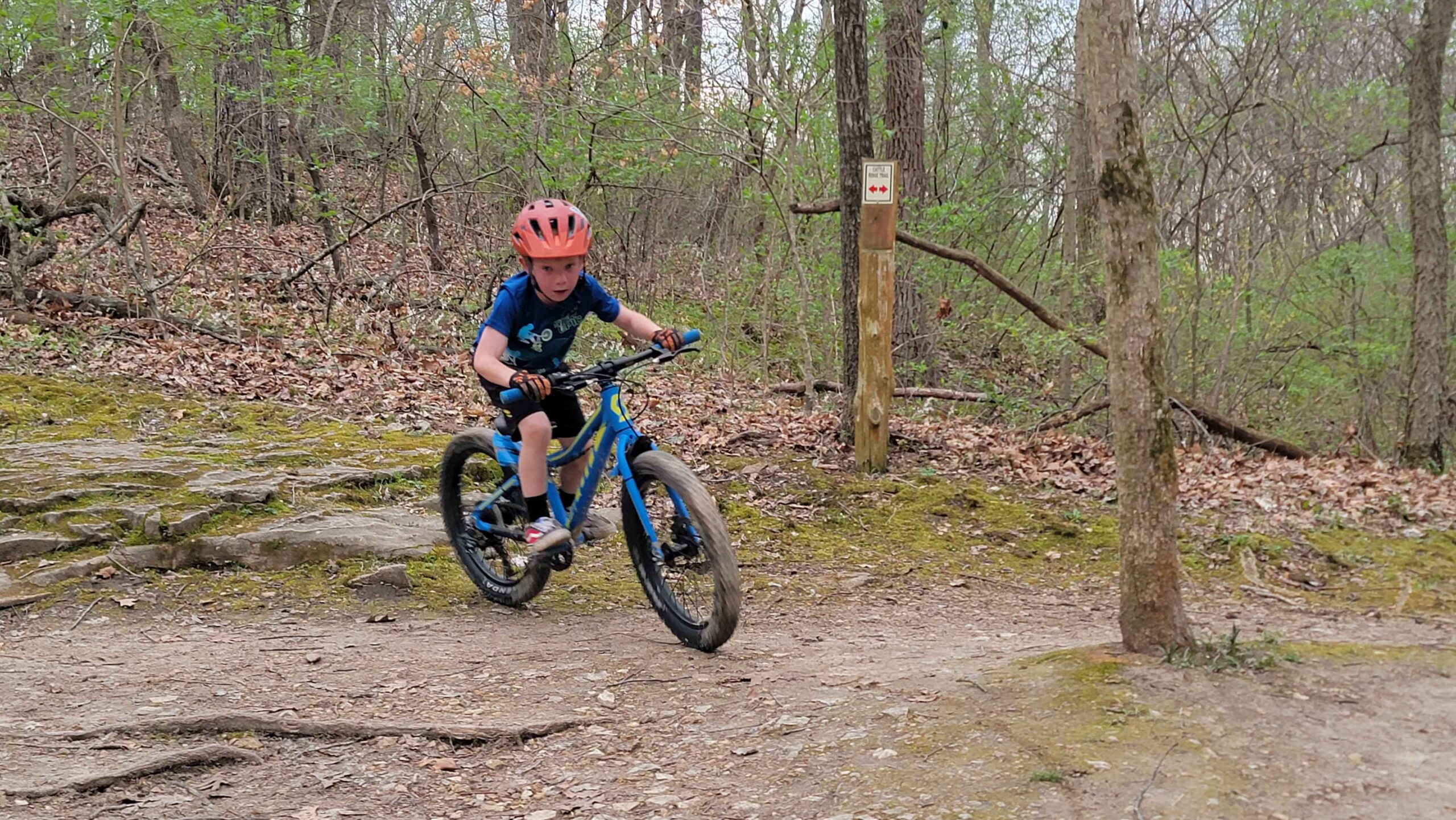
Spring Valley Trail (3.75 miles) consists of two loops, an outer one, and an inner one contained within. Both are tied together via three short connector trails. The loops vary from tight and twisty to open and flowing as they weave in and out of the many sinkholes in the area. Both loops are mostly packed dirt. While not technical, the trail design offers riding suitable for beginner as well as advanced riders.

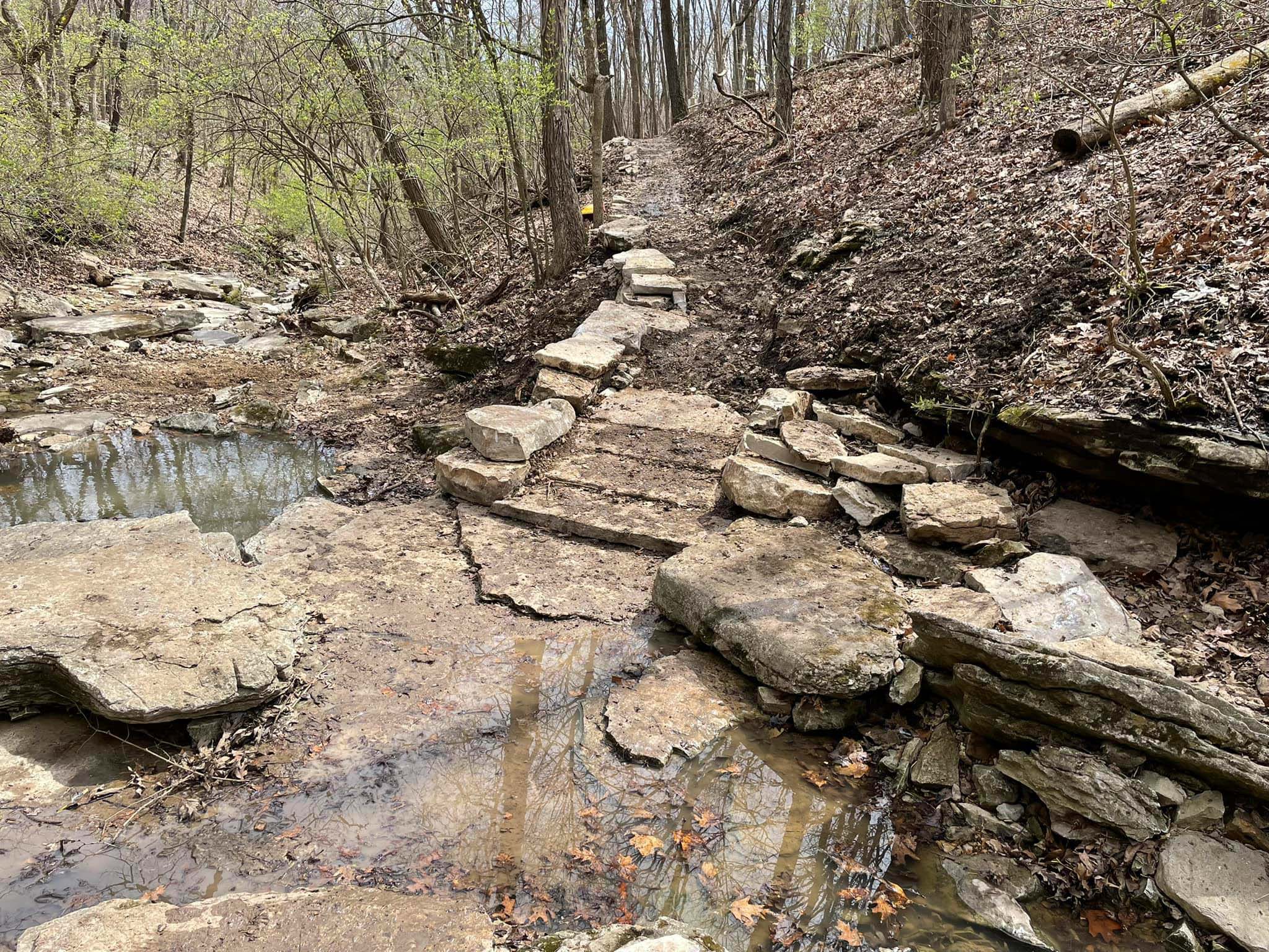
The trailhead for the Spring Valley Trail can be accessed via a Connector trail from the upper parking lot or from the Bluff Trail Loop at the road just uphill from the pedestrian bridge. Cross the road and continue along the creek, crossing the creek and climbing up to the Spring Valley Trail.

From the upper parking lot, enter the field at the main trailhead, continue for a short distance, spur off to the right. From there you will cross the paved trail and merge with the Bluff Trail loop. Turn right at the sign and follow to the road crossing uphill from the pedestrian bridge.

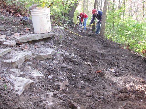
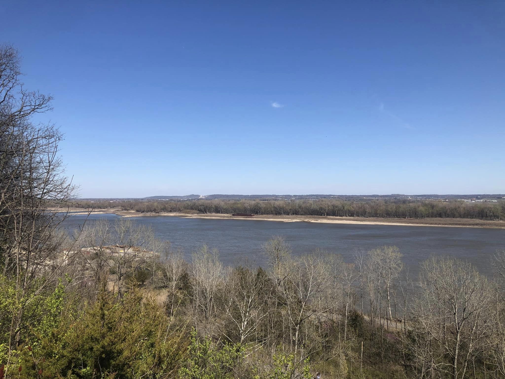
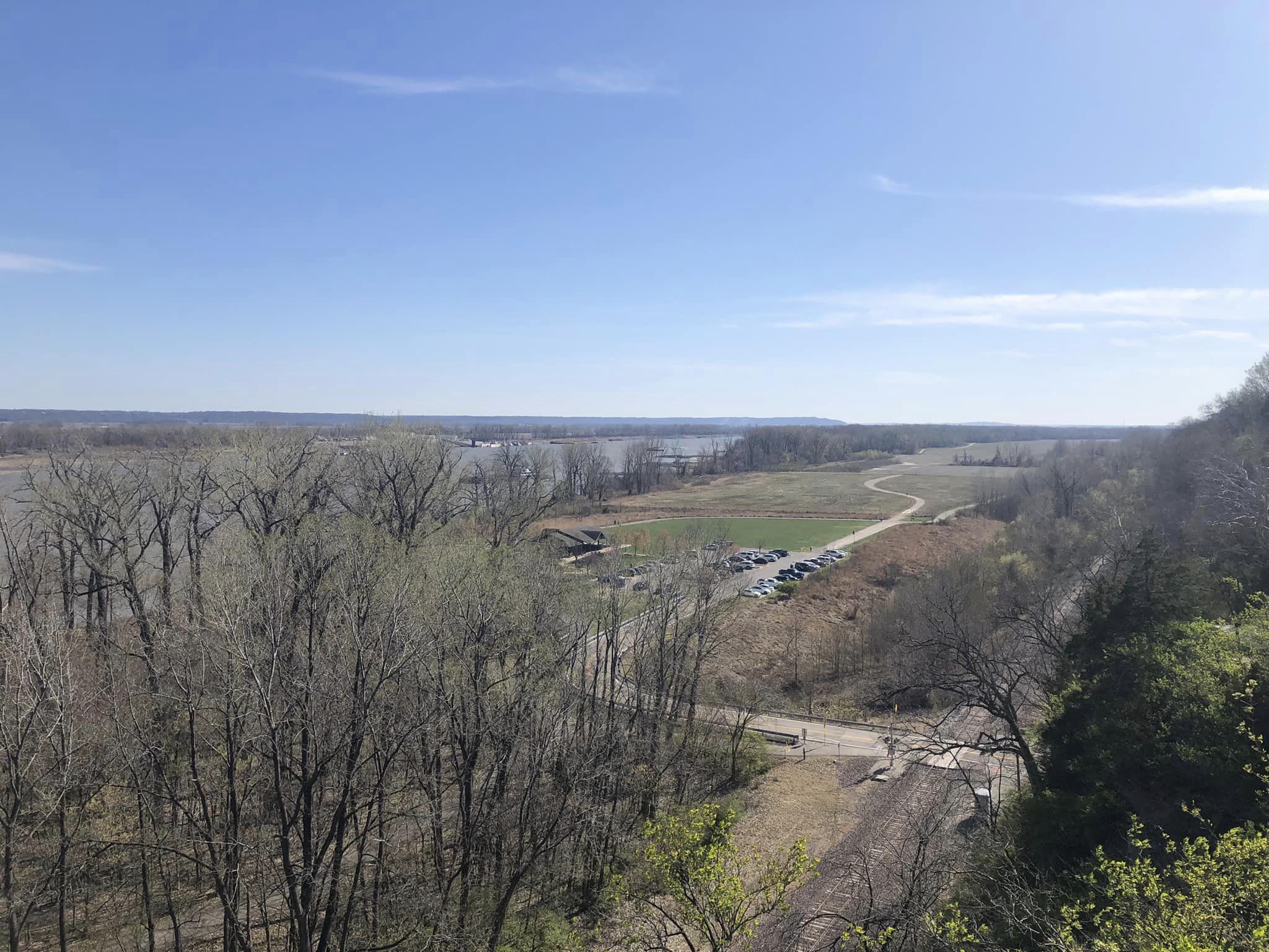
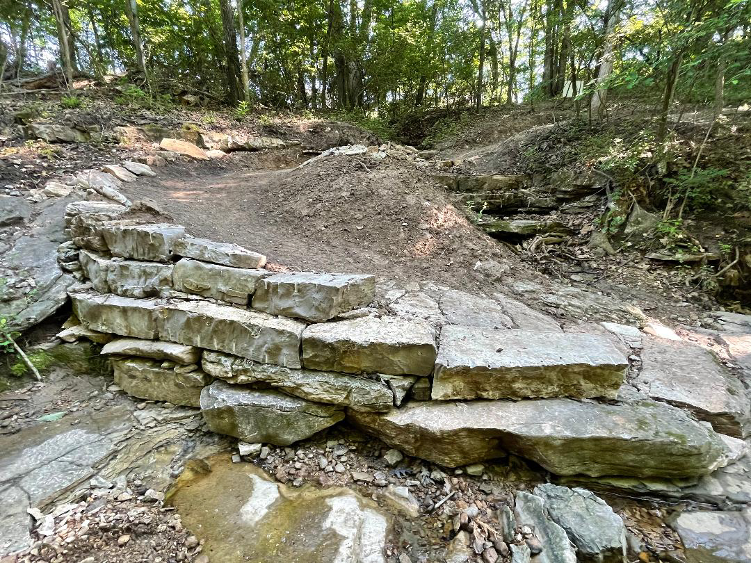
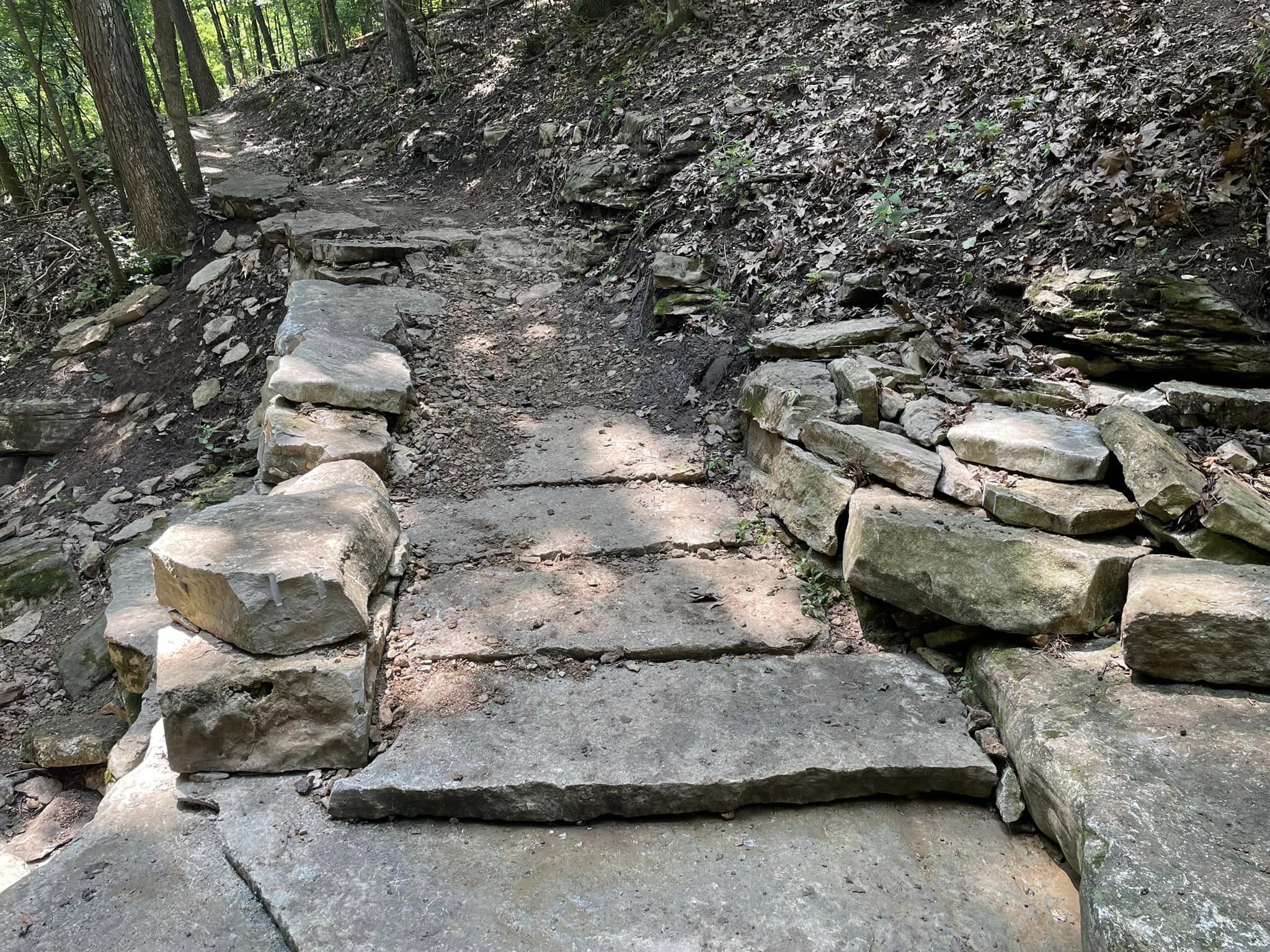
Bluff Trail (2.0 miles) offers the best technical features for the advanced rider. The trail now makes use of a previously unused section of the park from the main parking lot to just west of the overlook. It then heads down through four switchback turns followed by several technical rock gardens. The trail then transitions back to mostly packed dirt as it winds its way back up to the overlook. The newly built overlook has a beautiful view of the Mississippi River Valley. In the winter months keep an eye out for Bald Eagles.

The paved trail system offers an enjoyable place to ride when the natural trails are too wet for use. It consists of the 5 mile Mississippi River Trail loop as well as a 1.5 mile connector trail that climbs up three switch backs and connects with the bike lane on Telegraph Road. Another 1 mile spur trail climbs up to the overlook and on to the upper parking lot.
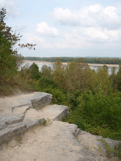
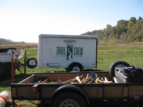
The park occupies 525 acres that include a flood plain wetland area, heavily wooded forest with a variety of old growth trees such as the Shag Bark Hickory, a picnic shelter and scenic river overlook. This area is geologically known as a Karst Plain- an area consisting of caves, sinkholes and springs formed from the dissolution of layers of bedrock. The many sinkholes provide a haven for a variety of wildlife including wild turkey, fox, rabbits, squirrel, deer and raccoon.

The trails are open to equestrians, hikers and mountain bikes. Please observe proper trail etiquette when using these trails.

Directions

Cliff Cave Park is located on the banks of the Mississippi River in South St. Louis County. Take I-255 to Telegraph road. Go south on Telegraph 1.7 miles to Cliff Cave road. Go left on Cliff Cave road and continue approx. 1 mile into park.

SERVICES

There are composting toilets, and water available at the pavilion overlooking the river.

PARK HISTORY

Cliff Cave is a historic and archaeological site. The cave is also known as “Indian Cave” and developed in Mississippian St. Louis limestone. With 4723 ft (1514 m) of cave passage surveyed, it is the second longest cave in St. Louis County.  In October of 2009 the cave was gated to protect a population of endagered Indiana Bats which live in the cave.

Latest trail conditions

Our site utilizes crowd-sourced data to provide the latest conditions and that includes you. Be sure you are logged in first or set up a free account before updating a trail condition.

Update trail condition

11

Nov 2024

From mark barone on Monday:
Cliff Cave - As per typical this time of year , LOTS of LEAVES , otherwise good !!!!

22

Aug 2024

From mark barone on Thursday:
Cliff Cave - Thanks to whoever responsible for storm cleanup , trail is clear and in good shape !!!!

16

Aug 2024

From mark barone on Friday:
Cliff Cave - Various areas have trees down from decent storm , some very big !!!!

02

Jul 2024

From Matt Hayes on Tuesday:
Cliff Cave - THis is just a test to ensure the trail conditions update can accept a large amount of text so users can comment as much as they'd like describing trail conditions. SUch as downed trees, mud holes and other debris blocking a trail, a trail's overall condition or weather-related news. This is also (to make sure) that special characters *within reason* can be used without breaking the commenting system. !@#$%^&* &*()_+ and beyond. No HTML in the comments please, and at this time, no images may be submitted. This is only a test.

11

Jun 2024

From Patty Crocker on Tuesday:
Cliff Cave - G2G! Good to Go!