This is a multi-use park that is open to mountain bikers, equestrians, and hikers, so please observe proper trail etiquette while enjoying the trails.
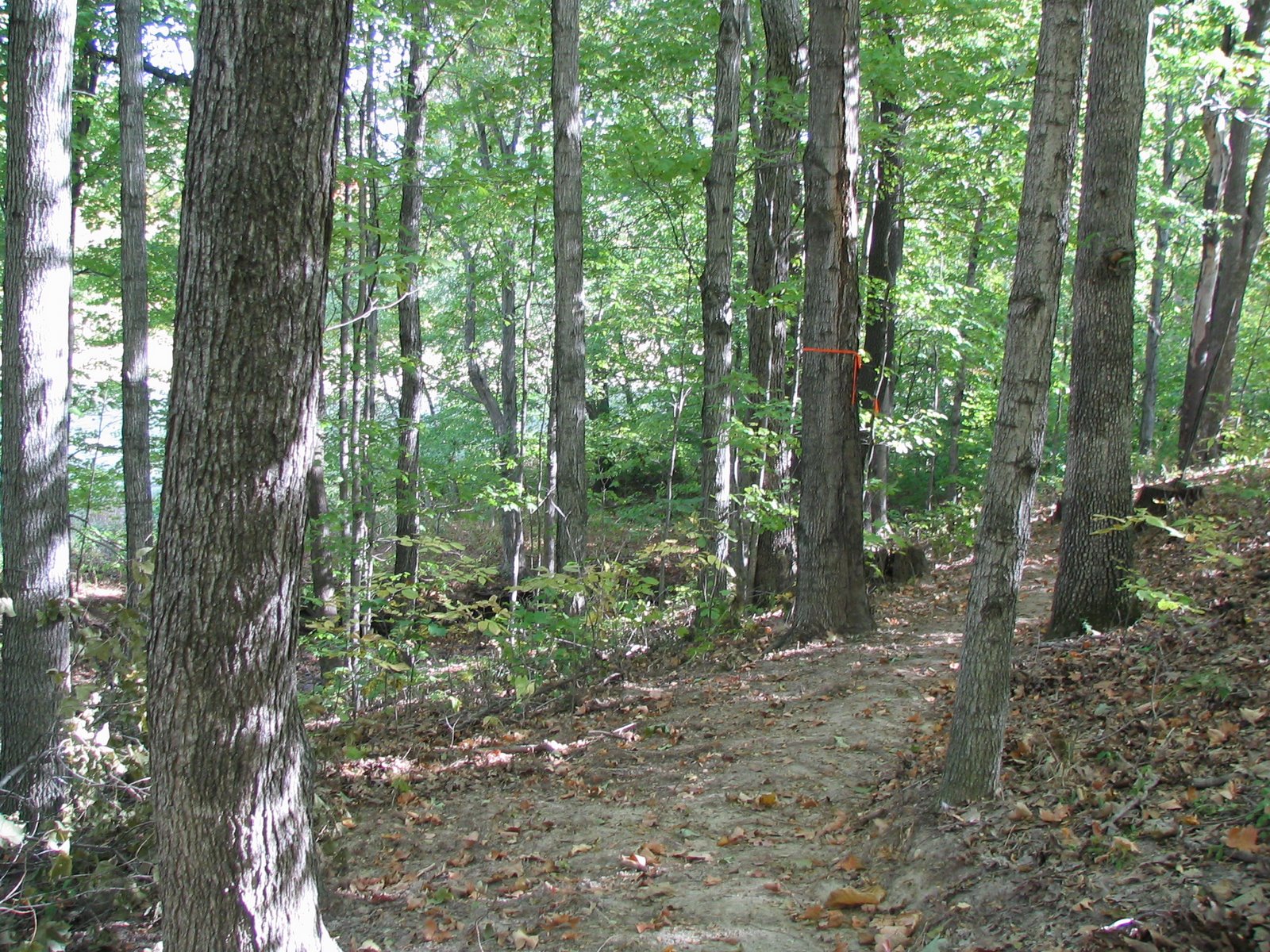
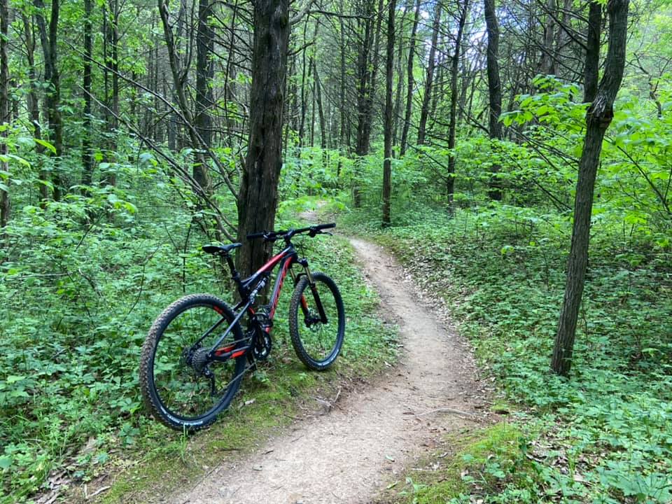
The trails in this 500+ acre park are in 2 separate sections joined together by restored grassy prairie. They are a mixture of hard packed dirt trails, several small rock gardens, and a few rocky creek crossings.
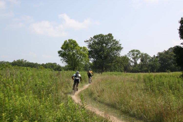
The front section is accessed via the concrete bridge that is just off the first parking lot. It’s a mixture of wooded single track and open meadows, with several short but steep climbs. Rocky in the beginning, it switches to a dirt base as you start up the ridge.
The trail then follows the contours of the meadows to the second section, making for a fun, but quick trip to the wooded area in the back of the park. A winding, dirt hillside trail, mixed with rocks leads to a creek crossing, then a rocky ascent as the trail meanders along another ridge line leading to a picturesque view of a local equestrian farm and pond. This section features a wide swooping turn which leads back across the power line alley that divides this part of the trail.
St. Charles County Parks operates a Trail Conditions Hotline detailing the current state of the trails in all of their parks. Please call 636-949-7475, opt # 4 to check trail conditions.