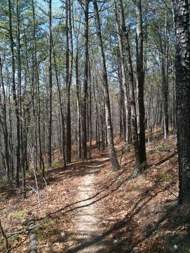
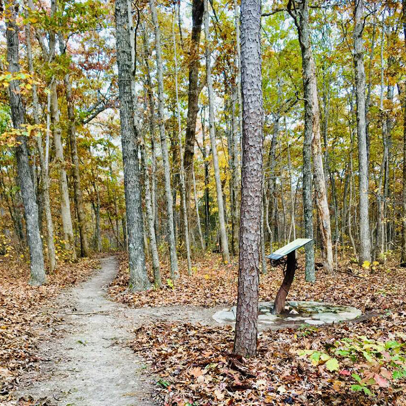
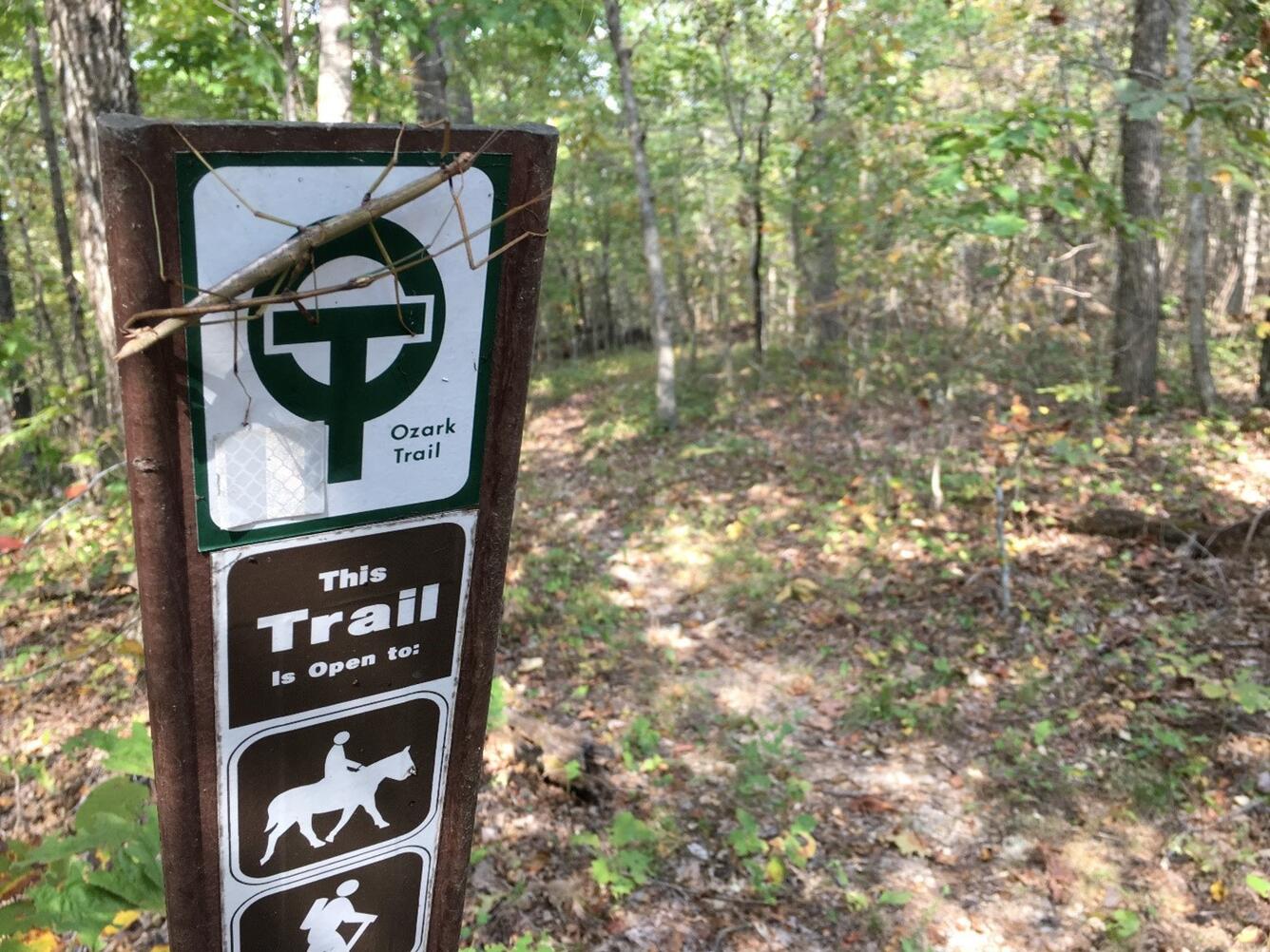
Picture a rocky surface trail in Colorado. Now imagine it in Missouri without the Colorado altitude. Well, that’s how some GORC members see the Middle Fork. The newest section of the Ozark Trail was finished in Nov. 2005, and officially opened for use in April 2006. The trail is true Ozark terrain, constantly going up and down, over a hill then down into a valley, repeating the process over and over again for its entire length.
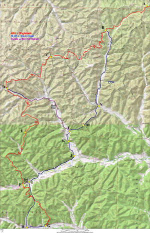
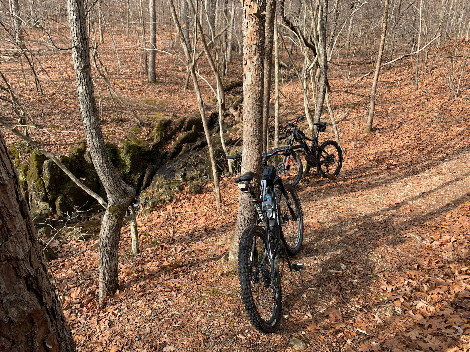
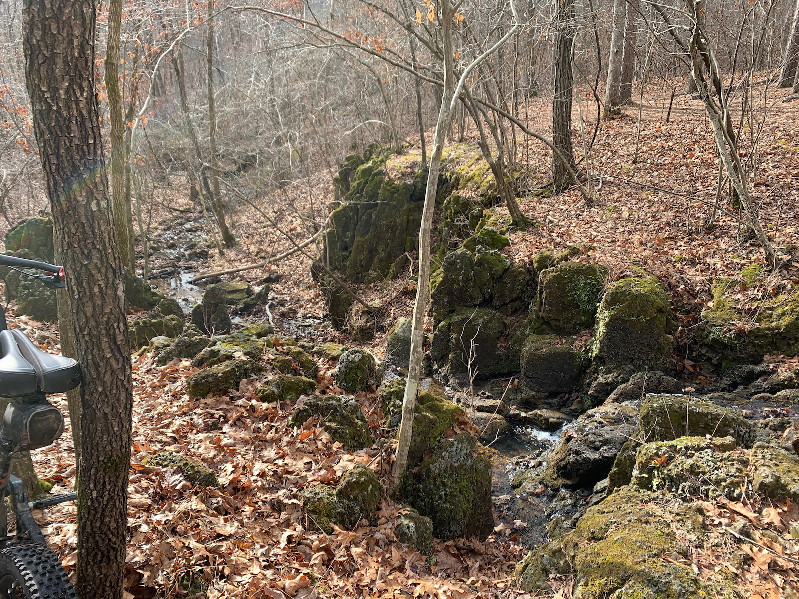
The first 13 miles of the trail (it actually begins 1 mile north of the trailhead at the junction of DD/32), to Barton Fen has been open for over a year, and is already well established. In addition to the constant undulations, there are many creek crossings and a small side trail which takes you to a nice little waterfall.
The Southern section begins with a bypass of the short foot-only stretch through Barton Fen. After following CR-79 (Neals Creek Rd.), southeast for approximately 1.5 miles, the trail heads off to the right at the first road junction with CR-78. It’s not very well marked here going north to south, and the connector is sometimes overgrown. This second section, approximately 10 miles in length, features fewer climbs than the first part, but they are longer and steeper. None are overly steep, they’re just a constant grind getting over them. Fortunately, they come with the accompanying descents. You will be rewarded for your climbing efforts! There are fast downhills, sweeping banked turns, some open views of the countryside, and rockier technical miles. This section of the trail also has a few deeper water crossings which will probably require you to get your feet wet, so be prepared with extra socks. Always watch out for switchbacks, of which there are quite a number, some when you least expect it!
