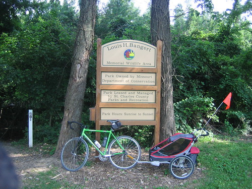
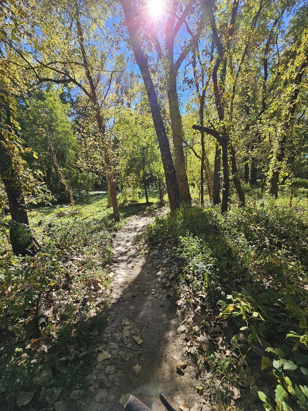
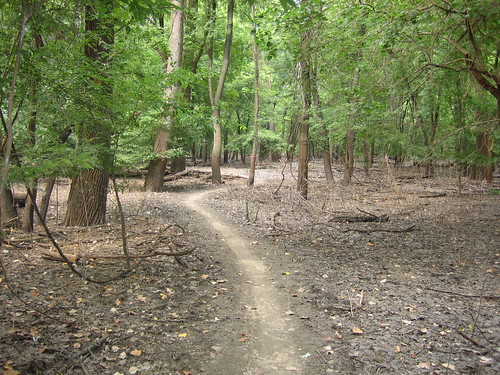
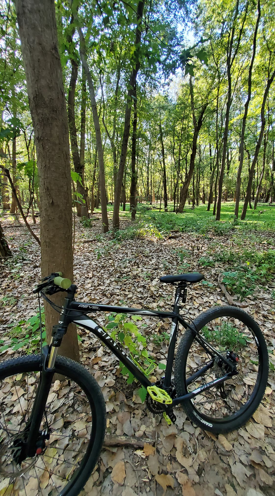
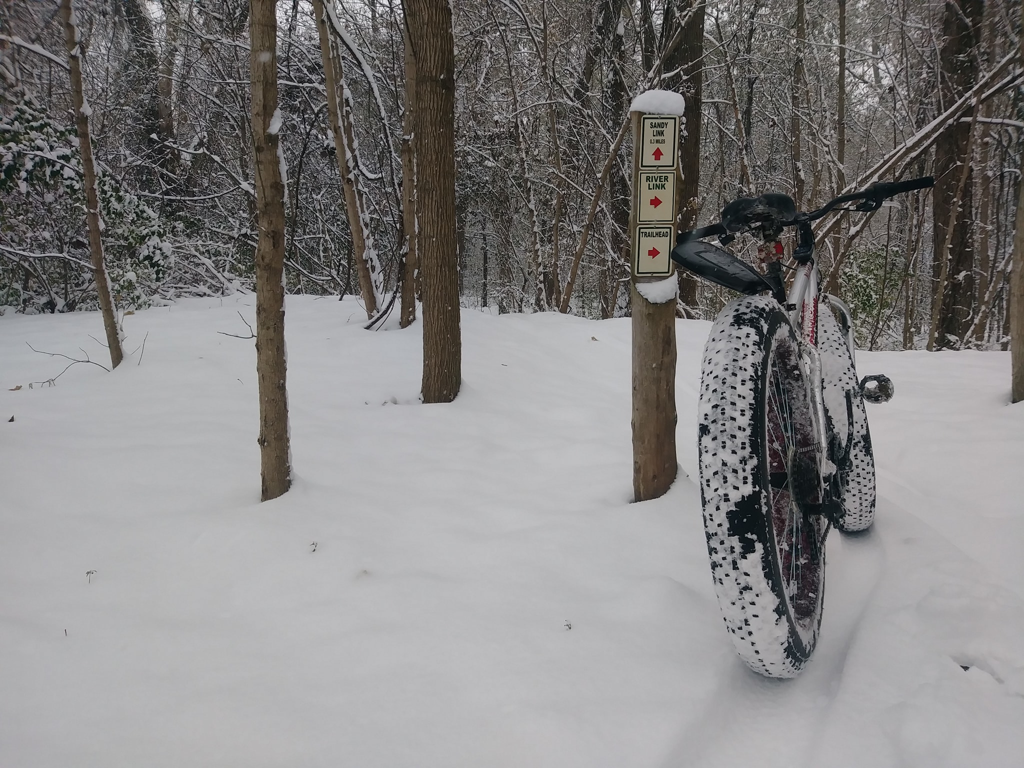
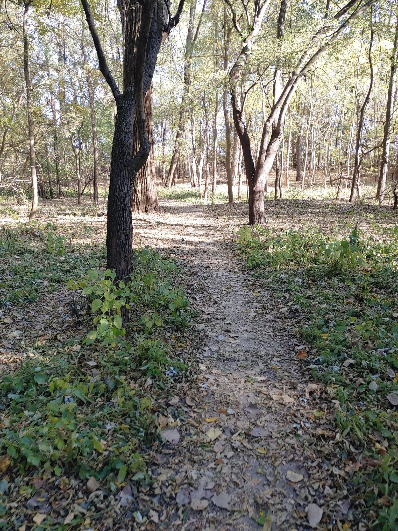
This 160 acre park is between the Katy Trail and the Missouri River just south of downtown St. Charles. 4.2 miles of singletrack, with some sandy areas, have been squeezed onto the island. The main loop is a figure 8 designed to be accessible to the beginning rider with minimal elevation change. The Sandy Loop weaves in and out of the drainage troughs alongside the river edge, offering a change of pace from the flats on the main loops.
The trail is subject to seasonal flooding, and once the river level reaches 23′, the bridge is no longer accessible.
