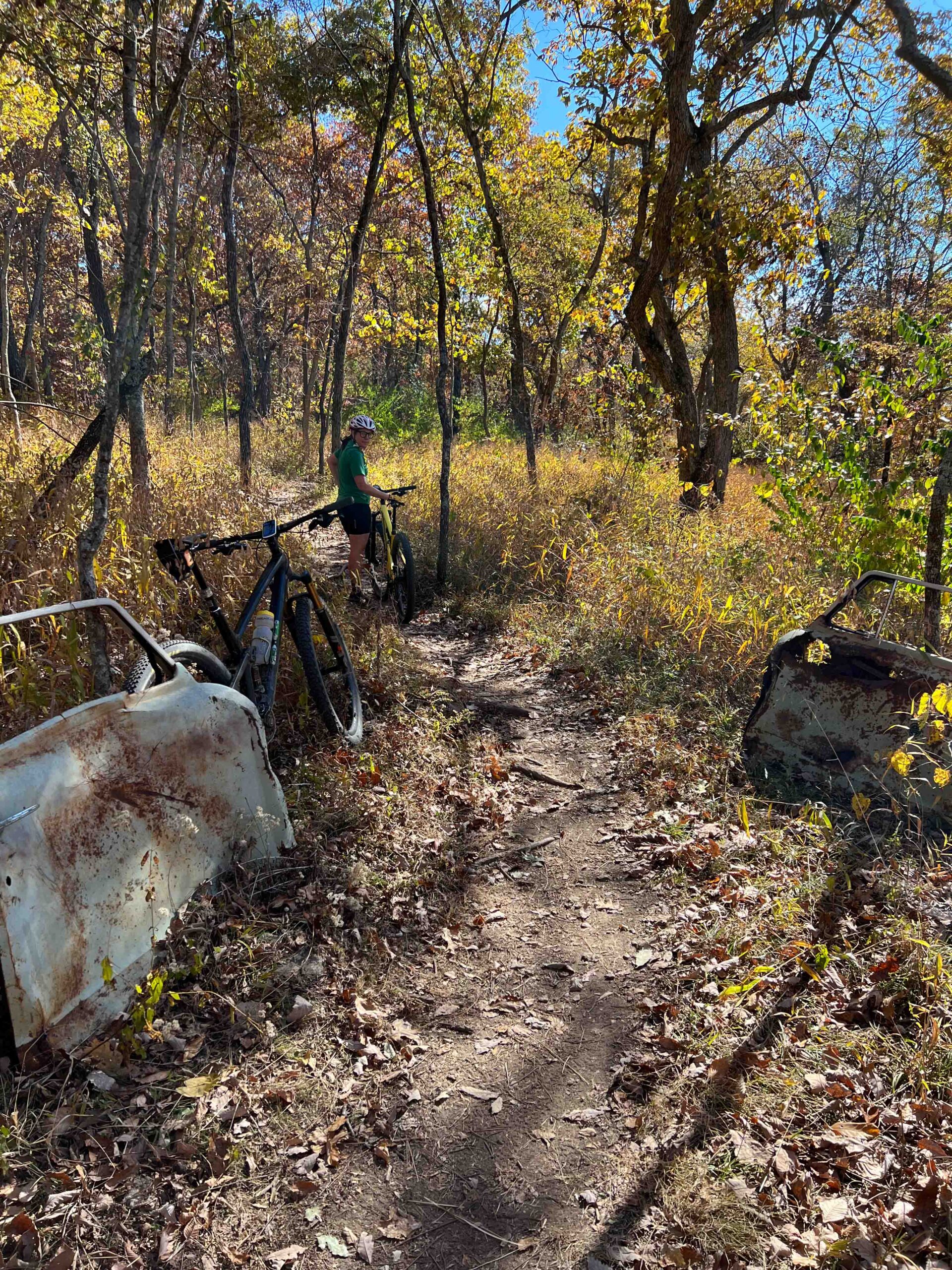
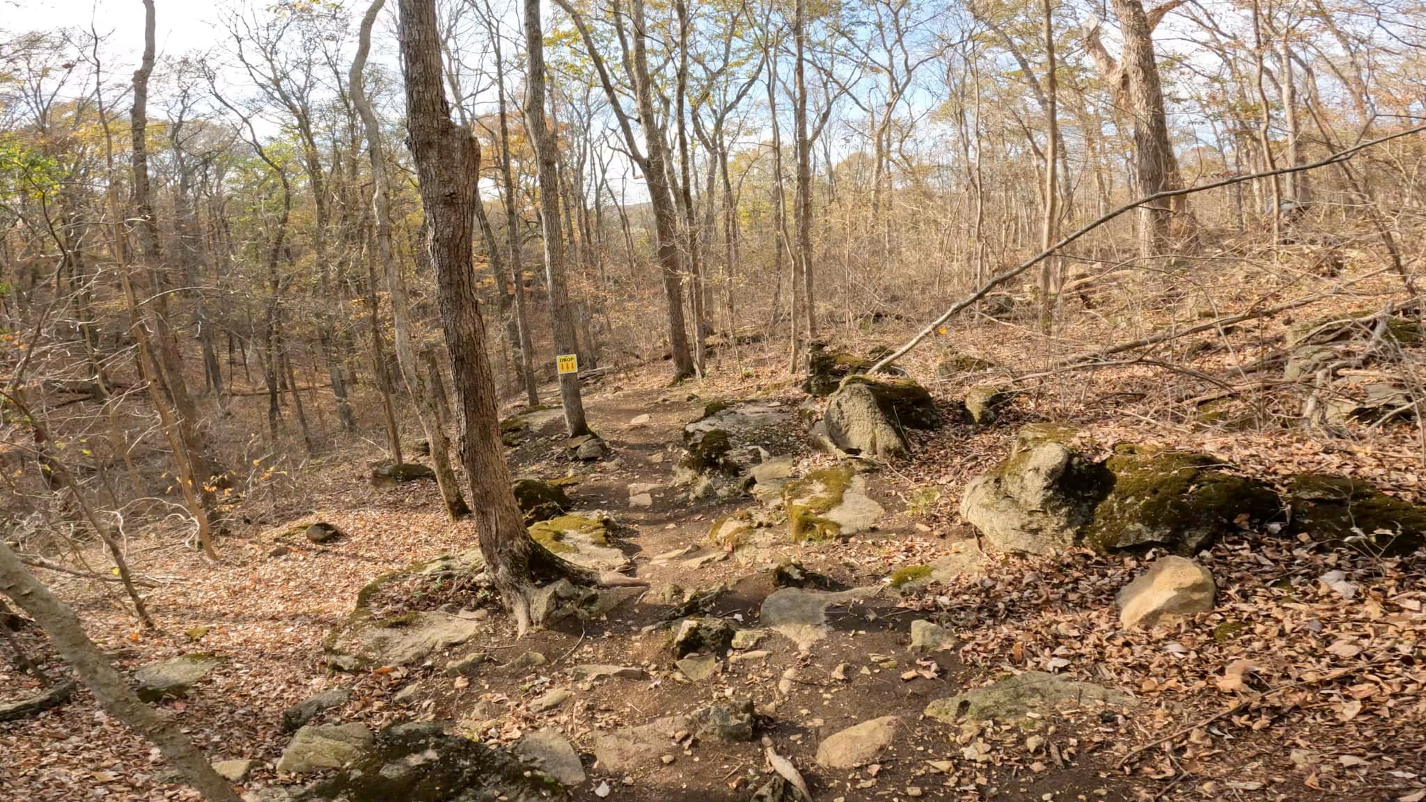
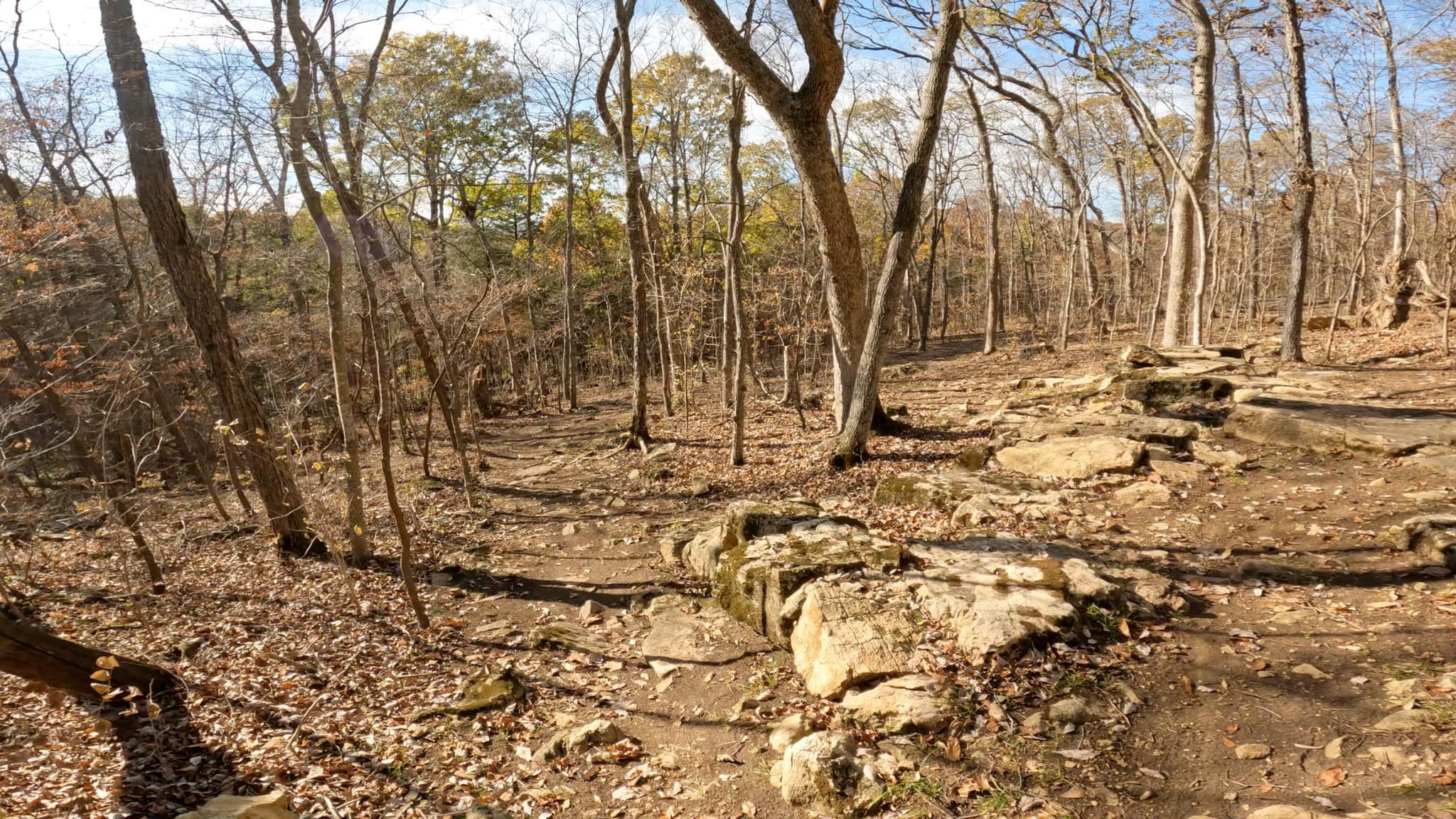
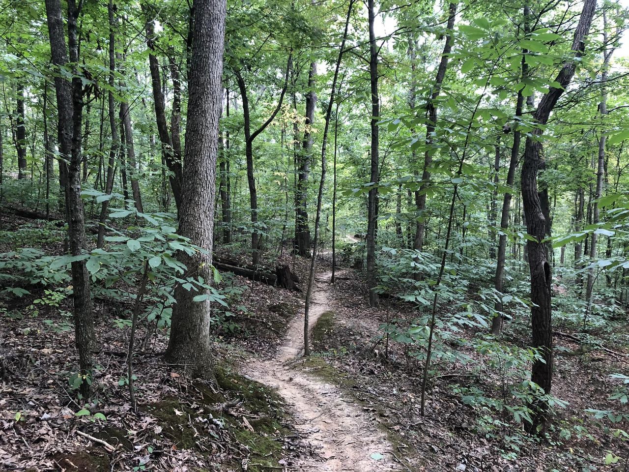
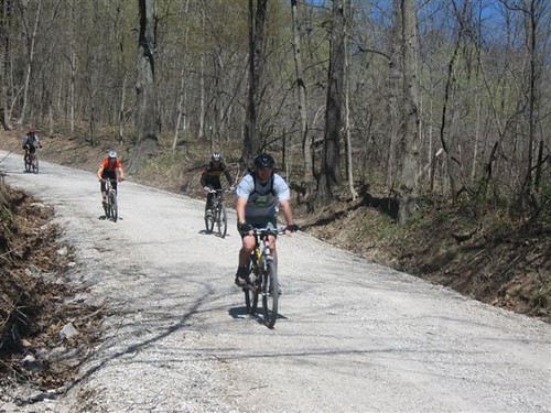
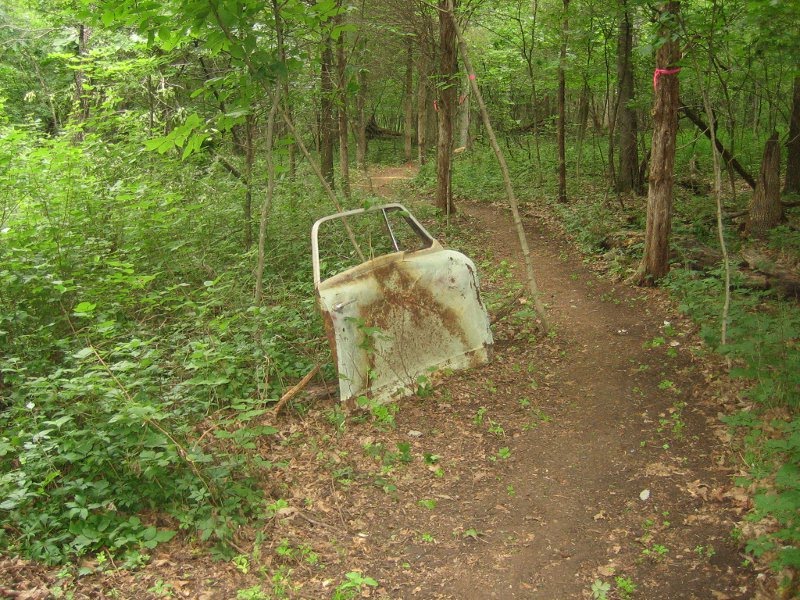
This trail, in the heart of Daniel Boone country, is 7.4 miles of 100% singletrack designed for hike and bike use only. Weaving up and down several times in a large hollow, it is a constant challenge to novice and advanced riders alike. This is some unique terrain, heavily wooded, very dark and shady, with several rock-bottom creek crossings. Due to the steepness of the terrain, the area wasn’t logged so it presents an uncommon setting with low volume mid-level growth, and tall old-growth trees forming a high, dark canopy. It almost has the feel of a natural amphitheater. The trail surface is mostly dirt, with several veins of rock, and rocky creek crossings/waterfalls. Stop and look around when you reach the bottom of the valley. The trail should be ridden both clockwise and counter-clockwise; each offers its own pleasures.
Matson Hill
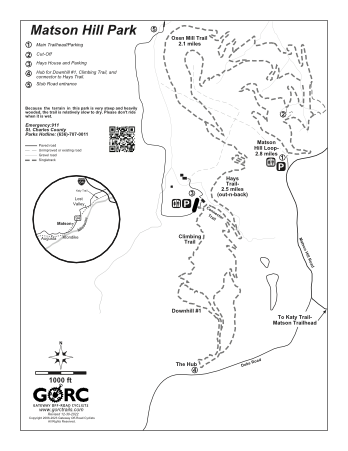
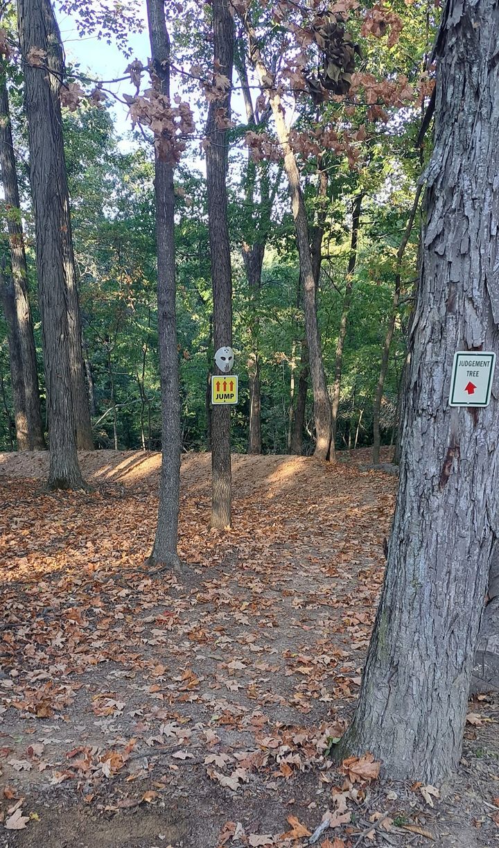
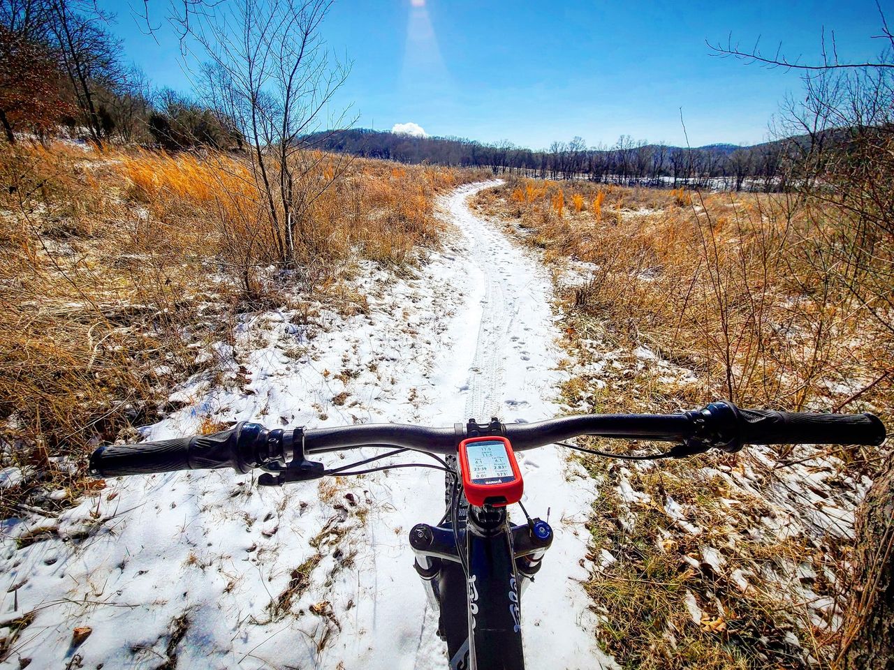
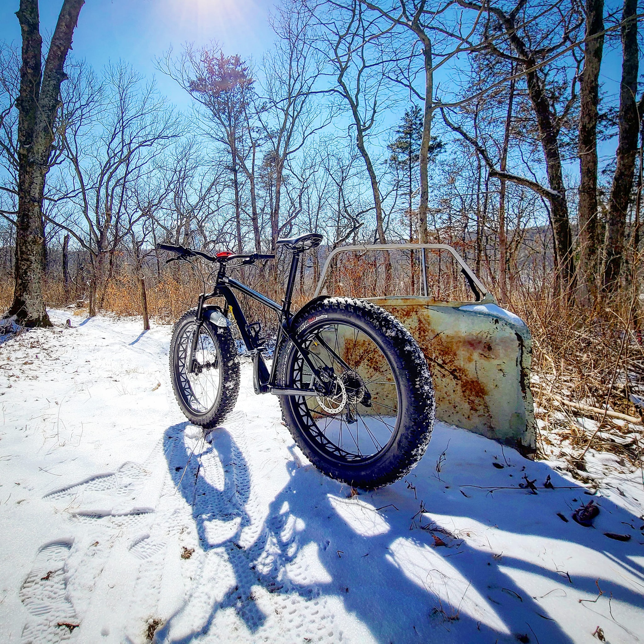
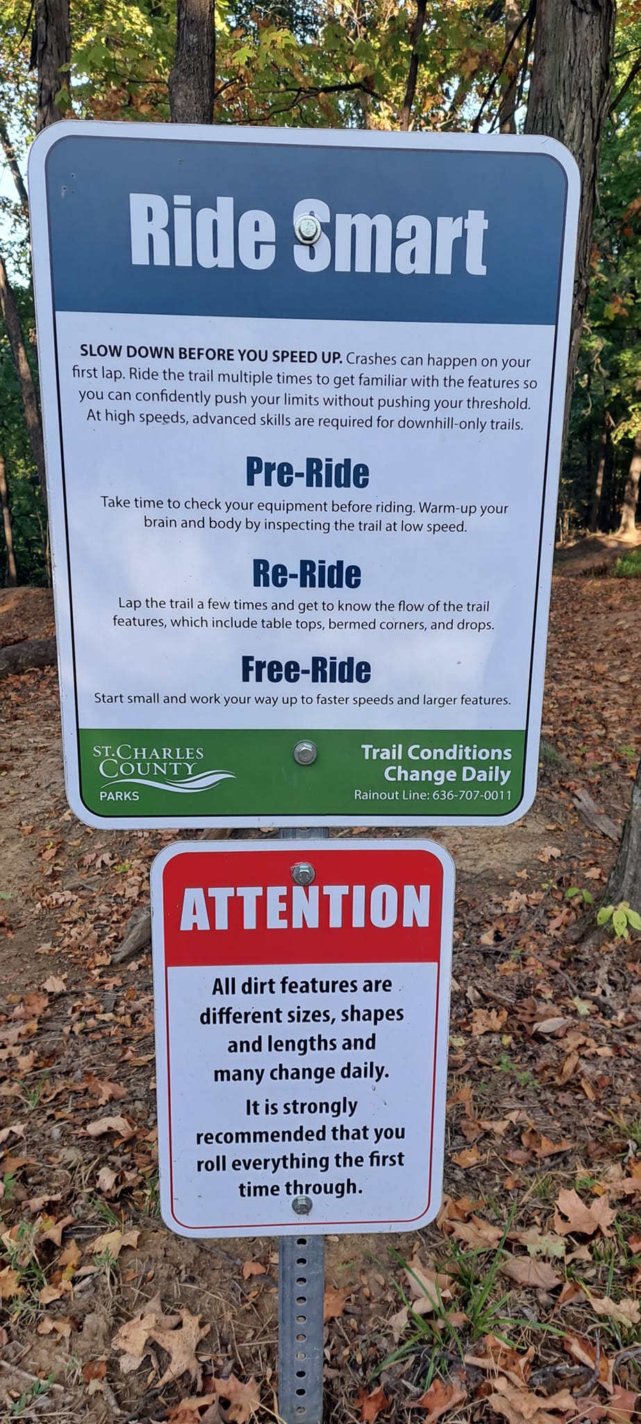
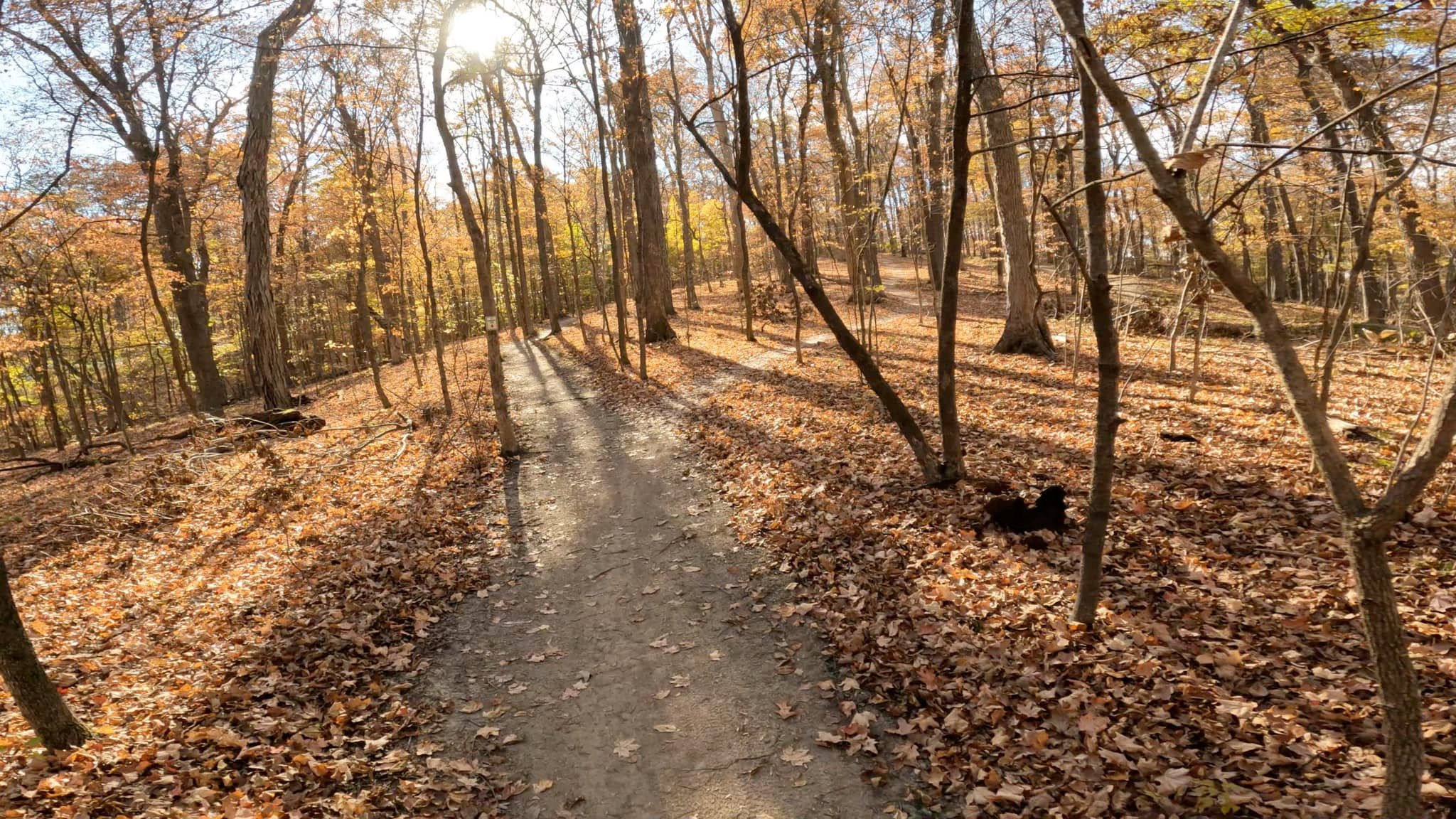
This hilly park features rocky and rooty loops and several challenging bike-only downhill routes.