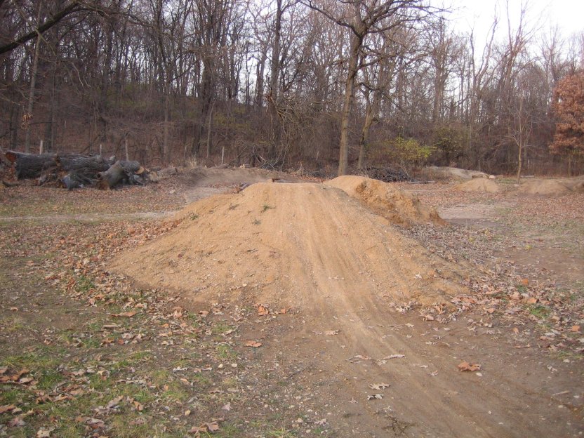
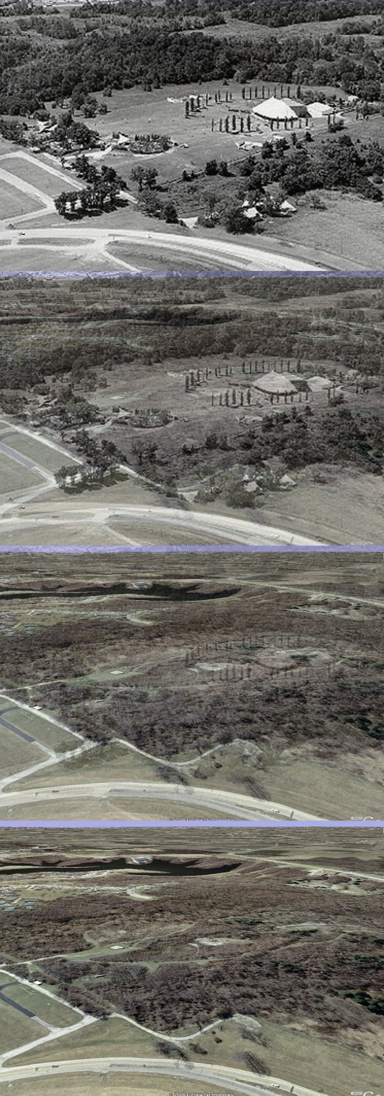
Recently, JohnnyD posted a link to some pictures of the old Mississippi River Festival site on which the current mtb trails at SIUE are located. I took one of the pictures and overlaid it on a shot from a similar angle in Google Earth to illustrate how the site looked then, and what it looks like now. Because the altitude I picked was off slightly, and so was the viewing angle, it doesn’t match exactly, but it’s good enough to show how quickly nature reclaimed the area once it fell out of use.

