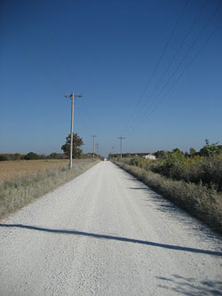
When Missouri is going through its annual freeze/thaw cycle, the trails are too muddy, or it’s just plain wet out – turn to the trusted pre-industrial revolution technology – gravel! Our section of gravel-based routes is a brief list to get you fired up and exploring Missouri’s back roads, fire roads and abandoned logging paths. Keep reading for links to more comprehensive guides.

The massive Mark Twain National Forest and many gravel roads are just an hour or two outside St. Louis. When the weather is foul, the trails are mud and adventure must be accomplished… it’s time to head south, or east or north, west too! There’s gravel everywhere if you get far enough outside the metropolitan area.

The link below will take you to an off-site crowd-sourced gravel map to get you started. Get your gravel ride on!
MISSOURI MAP RESOURCES TO ASSEMBLE YOUR GRAVEL MEGA ROUTE!

Mark Twain National Forest – Road Usage Maps!
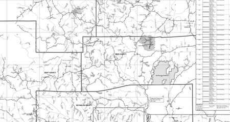
This is a great start to a long relationship with the DD/32 gravel nexus of the universe. Download resource-intensive PDF maps from US Forest Service. This screen shot below is taken from the Salem/Potosi Unit dated September 15, 2011. This particular map contains most gravel roads around the Middle Fork / Council Bluff / Trace / Bell Mountain area. As detailed as this map is, you may find some roads are not listed. That’s when you turn to GPS file centers like GarminConnect , MapMyRide and more to fill in the missing pieces. Before long, you’ll find yourself to be a gravel expert AND mapping guru.

These files are not hosted by GORC as they are subject to updates without our knowledge.

MoDOT County Road Maps
The Missouri Department of Transportation has printable maps of Missouri’s 114 counties. The documents are provided in Adobe PDF format with dimensions of 18 by 29 inches. The county maps are a great way to discover new roads and their classification.

These files are not hosted by GORC as they are subject to updates without our knowledge.