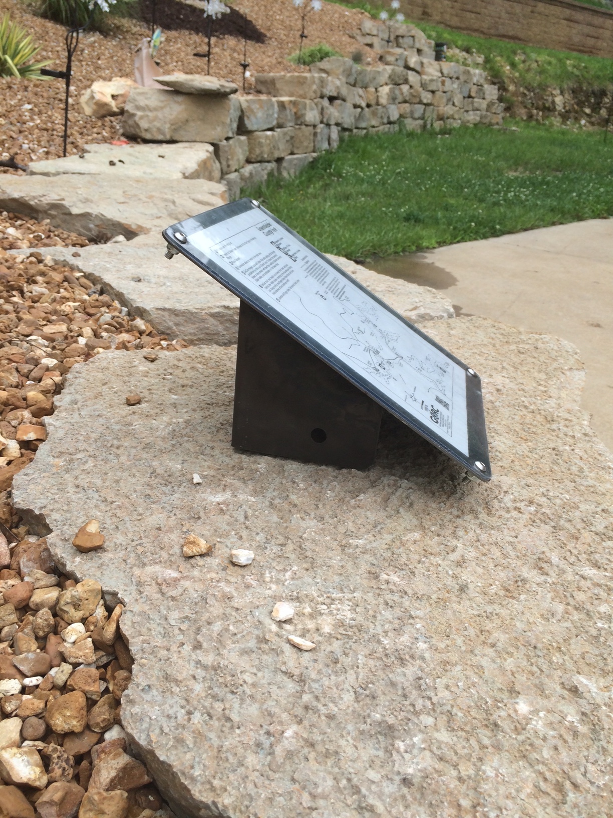
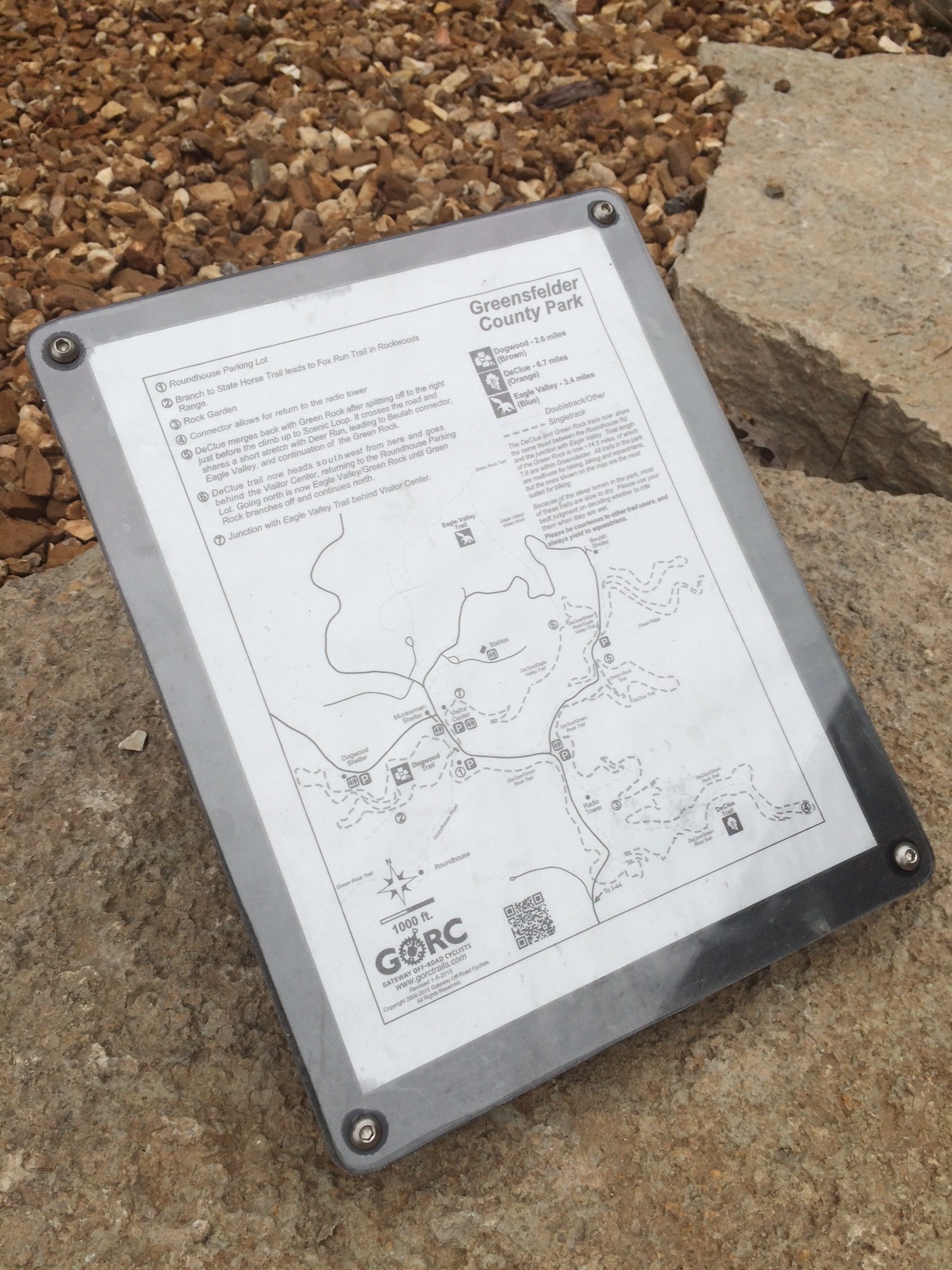
GORC was recently awarded a grant of $5,000.00 from outdoor retailer REI for improving the trails in the St. Louis region. We have wanted to increase the amount of trail signage information available at trail intersections in several local county parks for many years. We will be making this a reality through the generosity of the REI grant and the approval of St. Louis County Parks.

Project Summary
The Gateway Off-Road Cyclists (GORC) propose to add (36) trail location maps to existing marker posts in St. Louis County Parks, namely Greensfelder Park, Creve Coeur Park and Cliff Cave Park. Currently, there is no signage on the trails to aid users in determining their location relative to their starting point. This results in a poor experience for the hikers, trail runners, cyclists and equestrians that are unfamiliar with the trail system(s).
Project Detail
GORC has been partnering with St. Louis County Parks and Recreation to design, build and maintain their trails for over 15 years. We have a strong alliance and continue to develop new opportunities for all trail users. With the increased amount of trail opportunities, come more choices for those using the trails. This has identified a need for better maps out on the trails to help trail users identify their location. Currently, the County has 6” x 6” posts with a symbol that indicates the trail, but it does not help you find your location. Due to budgetary constraints, St. Louis County Parks is unable to provide kiosks or better signage beyond what is currently available.
GORC proposes to attach a pre-built map holder to the existing 6” x 6” posts at strategic intersections. This map holder will contain a replaceable map and face plate that will identify their current location and trailhead in the park. This will allow trail users to be able to plan a route, find their way out quickly in case of emergencies and give them a sense of security knowing they can continue without getting lost. Cell phone service is not always a given in sections of the parks, so it will be helpful to have printed maps available.
When trail users have poor experiences due to getting lost or a confusing network of trails, they tend to not return. Trail maps will allow them to have a much better experience. The benefit of the trail maps is that all users; trail runners, hikers, cyclists, equestrians, orienteers, etc. will have a better experience out on the trail. The long term effect is that this project will allow new trail users to have a better experience that will keep them coming out and using our abundant recreational opportunities with confidence.
GORC does and will partner with St. Louis County Parks and other local land agencies to engage volunteers in becoming stewards for the local trails. GORC will work with volunteers to install the new signage and take feedback from our website forum and other news sources to add the information people want to see on the maps. GORC will use our website, Facebook and other social media to inform the public of this project and illicit comments. GORC would like to work with REI to promote more REI members to participate in local trail building and maintenance events. We already provide trail building schedules to our local store and try to engage their participation. The local trail user community looks to our organization as the single source for trail building and trail news, providing better signage is an extension of the services we already provide.
Conclusion
This project will impact a minimum of three outdoor parks in St. Louis County; provide proper signage on multi-use, natural surface trail systems built by volunteers; give all local and out of state trail users a better and safer trail experience and hopefully encourage more trail users to become involved and volunteer their time and labor to future projects.
The goals of GORC and REI come together for a common goal…to get more people outside.

