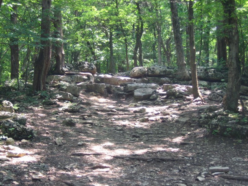
Ever wonder about the history of the Chubb Trail, or why it looks different than the neighboring Flint Quarry Trail? This article by Sam Mitchell appeared in Trailhead, the GORC newsletter in the Fall of 2006.
R. Walston Chubb was a graduate of Harvard College and Columbia Law School. He worked as an attorney in Washington D.C. and St. Louis. Mr. Chubb was involved on behalf of civil rights issues and environmental issues. He died in 1977.
Mr. Chubb was founder of the Open Space Council, a group organized to remedy the Meramec River, and for this work the trail from West Tyson Park to Lone Elk Park was named for him when the trail was dedicated in 1984.
Dennis Hogan designed the trail for St. Louis County Department of Parks and Recreation in the early eighties. Dennis did the scouting and marking on horseback because it was quicker, and the trail would be used by hikers and equestrians. No one thought of bicycles, and the head of the department, and its first director, Wayne C. Kennedy, was an equestrian. Dennis scouted the north side of the park for days before finding the break in the Kimmswick outcropping that bicyclists call “The Step”. The two steep climbs at the highest ridge on the trail, before and after the picnic table, were preexisting horse trails that were to be improved, but have not been.
My first ride on the Chubb was in the spring of ’86 with a group of engineers from McDonnell Aircraft. The trail was not much used, and horses were the biggest group of users. Soon many bicyclists found it, and there were some conflicts. There were threats to close the trail to bikes, and the workdays began. Often there were only a few workers, but they were mostly bicyclists.
I had made suggestions to the Parks Dept. that were mostly ignored, except one: when I asked Mike Luedde if there could be a picnic table at the high point of the trail, and it appeared about two weeks later. Well, one other idea did get carried out: The Flint Quarry Trail.
In the mid 90’s before GORC was invented, I suggested a new trail for West Tyson Park, thinking that it would lengthen the fun, take some pressure off the Chubb, and be a great ride because of the nature of the park. Lots of maps and plans were exchanged, then changed, and finally in 2000, with GORC organizing the workday, and with 92 volunteers, we built the Flint Quarry Trail.
Both West Tyson and Lone Elk were part of a large parcel of woods and farm land called the Crescent Hills, the Crescent being the long turn in the Meramec River starting at Times Beach and ending at Lincoln Beach. These hills are higher than the surrounding land, about 400 feet above the river, where the hills in Castlewood are about 200 feet above the river. The Burlington Escarpment is nearby, and is considered the geologic edge of the Ozarks, and is the source of the chert, or flint that was used by early Americans for tools. The flint quarries are the pits in the Crescent Hills where a tree would topple in a storm and the tool makers would jump in and mine the rock, carrying it all over, including Cahokia, where tools made from flint from West Tyson have been unearthed. The most prized flint is called Crescent Rainbow Chert because of its lines of different colors. Unfortunately none of that is found in West Tyson Park.
A good history of the area can be found here.
