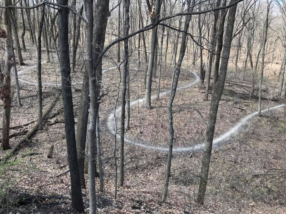
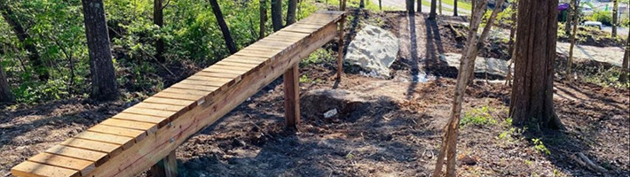
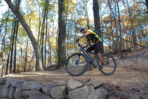
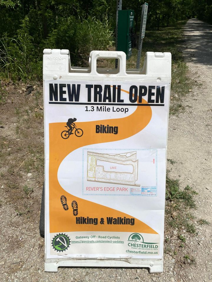
youtubebloggerfacebooktwitter GORC Newsletter Sign Up
Meetings are held the first Wednesday of every month, 7pm, at The Tap Room | Submit your volunteer / patrol hours!
Thursday, May 17, 2012
St. Charles County Parks Department has a trail status hotline. Call 636-949-7475 to verify whether a trail is open or closed due to weather conditions.
Report trail vandalism by contacting the St. Louis County Trail Watch Hotline - 314-615-8911

Area Trail Maps & Trailhead Directions

GORC helps the mountain bike community by providing easy-to-read printable maps of all the trails in our area. We have performed trail design, construction or maintenance on almost all the trail systems listed to the left.

We use GPS mapping equipment and software which we then translate into a graphics editing program. We release maps and subsequent updates as they become available.

Note: Please read our map usage policy regarding reproduction.

Updates:
New 01-21-12: Added new gravel section including four new gravel-based rides.

New 01-12-12: Updated Creve Coeur map.

New 11-09-11: Updated Creve Coeur and Cliff Cave Maps.

View the complete, larger map at Google Maps.
View Larger Map

Rules of the Trail

Rules of the Trail

These rules were developed by IMBA and have been reprinted below.

These guidelines for trail behavior are recognized around the world. IMBA developed the "Rules of the Trail" to promote responsible and courteous conduct on shared-use trails. Keep in mind that conventions for yielding and passing may vary, depending on traffic conditions and the intended use of the trail.

1. Ride On Open Trails Only

Respect trail and road closures -- ask a land manager for clarification if you are uncertain about the status of a trail. Do not trespass on private land. Obtain permits or other authorization as may be required. Be aware that bicycles are not permitted in areas protected as state or federal Wilderness.

2. Leave No Trace

Be sensitive to the dirt beneath you. Wet and muddy trails are more vulnerable to damage than dry ones. When the trail is soft, consider other riding options. This also means staying on existing trails and not creating new ones. Don't cut switchbacks. Be sure to pack out at least as much as you pack in.

3. Control Your Bicycle

Inattention for even a moment could put yourself and others at risk. Obey all bicycle speed regulations and recommendations, and ride within your limits.

4. Yield to Others

Do your utmost to let your fellow trail users know you're coming -- a friendly greeting or bell ring are good methods. Try to anticipate other trail users as you ride around corners. Bicyclists should yield to all other trail users, unless the trail is clearly signed for bike-only travel. Bicyclists traveling downhill should yield to ones headed uphill, unless the trail is clearly signed for one-way or downhill-only traffic. Strive to make each pass a safe and courteous one.

5. Never Scare Animals

Animals are easily startled by an unannounced approach, a sudden movement or a loud noise. Give animals enough room and time to adjust to you. When passing horses, use special care and follow directions from the horseback riders (ask if uncertain). Running cattle and disturbing wildlife are serious offenses.

6. Plan Ahead

Know your equipment, your ability and the area in which you are riding -- and prepare accordingly. Strive to be self-sufficient: keep your equipment in good repair and carry necessary supplies for changes in weather or other conditions. Always wear a helmet and appropriate safety gear.


Map Usage Disclaimer:

The maps and materials created, authored and/or prepared by GORC are copyrighted in content, presentation, and intellectual or creative origin. GORC trail maps are for personal use only. If you wish to use one of our maps to promote a race, event or republish on your website we ask that you contact us at gateway_mtb@yahoo.com asking permission. You are almost guaranteed permission as long as you;

  • leave the GORC logo and copyright intact
  • provide a link to our homepage so users may learn about our organization
  • when simply republishing the map on a website to "call" the image from our web server (right-click your mouse and use the maps image link or similarly named) to ensure the map is updated.
  • your usage of this map positively promotes GORC, the park system it represents and your event.

Any use of GORC images and maps should include the following credit statement:
"Gateway Off-Road Cyclists (GORC) www.gorctrails.com"

Lastly, always remember, it is unlawful and uncool to falsely claim copyright or other rights of our original GORC materials.

GPS File Usage Disclaimer:

These GPS files are made available with the understanding that the data is provided with no warranties, expressed or implied, concerning data accuracy, completeness, reliability, or suitability. The Gateway Off-Road Cyclists (GORC) shall not be held liable regardless of the cause or duration, for any errors, inaccuracies, omissions, or other defects in, or untimeliness or unauthenticity of, the GPS data information, or for any delay or interruption in the transmission thereof to the user. The end user assumes the entire risk as to the quality of the data. Remember, it's your responsibility to get yourself home safely and be prepared if your GPS unit blows up in the field. It is also not guaranteed that your GPS route will be 100% rideable - please respect private landowners' wishes should the GPS track lead you onto private property - every attempt is made to prevent this preparing the file but GORC cannot guarantee the accuracy of the submitted file data. Use the GPS files at your own risk.


GORC Supports the International Mountain Bicycling Association (IMBA)